|
Session B3.1
WEDG, A New Tool in Resilient Waterfront Design
Danielle Irwin, LEED AP, PWS
2:00 – 2:30 PM (PT) | 5:00 – 5:30 PM (ET)
| About the Presentation |
|
This presentation will feature the Waterfront Edge Design Guidelines (WEDG) rating system, a program of the Waterfront Alliance to create resilient, ecological, and accessible waterfronts. Waterfront design is complicated by limiting local, state, and regulatory rules, as well as multiple jurisdictions and a diversity of land uses. There is a need for more protection along the waterfront in our coastal states from flooding associated with sea level rise and storm surge but protection should not be at a cost to local ecology and public water access. WEDG grew out of post-Hurricane Sandy recovery efforts in the northeast United States with great success.
This rating system, similar to the US Green Building Councils LEED rating systems, is based on points being earned across six categories of design guidelines, with a minimum number needed for a project to be certified. Cummins Cederberg is using WEDG on projects in Southeast Florida counties. One project, Jose Marti Park, will be used as an example of how it was applied during the design phase of this Waterfront Adaptation Project. Jose Marti Park is a City-owned park located on the Miami River adjacent to the neighborhood of East Little Havana in Miami, Florida. The park property is currently very susceptible to both tidal riverine and precipitation flooding, which poses a health and safety hazard and has negative impact on park user experience.
The ultimate goals of the proposed Waterfront Adaptation Project are to adapt the waterfront of the park to be more resilient to today's flooding as well as future sea level rise while also improving public access to the waterfront and further facilitating community engagement; all of which are objectives of the WEDG rating system. The project incorporates living shoreline segments, resilient seawall design, a get-down / kayak launch, fixed and floating platforms over the water, and a commuter vessel landing. It aims to be one of the first WEDG-certified projects in Florida. It is with high hopes that the Jose Marti Park Waterfront Adaptation Project will act as a road map to future waterfront improvement projects in the metropolitan Miami area.
 Biology Track, 0.5 AICP Credits Biology Track, 0.5 AICP Credits
|
| About the Speaker |
|
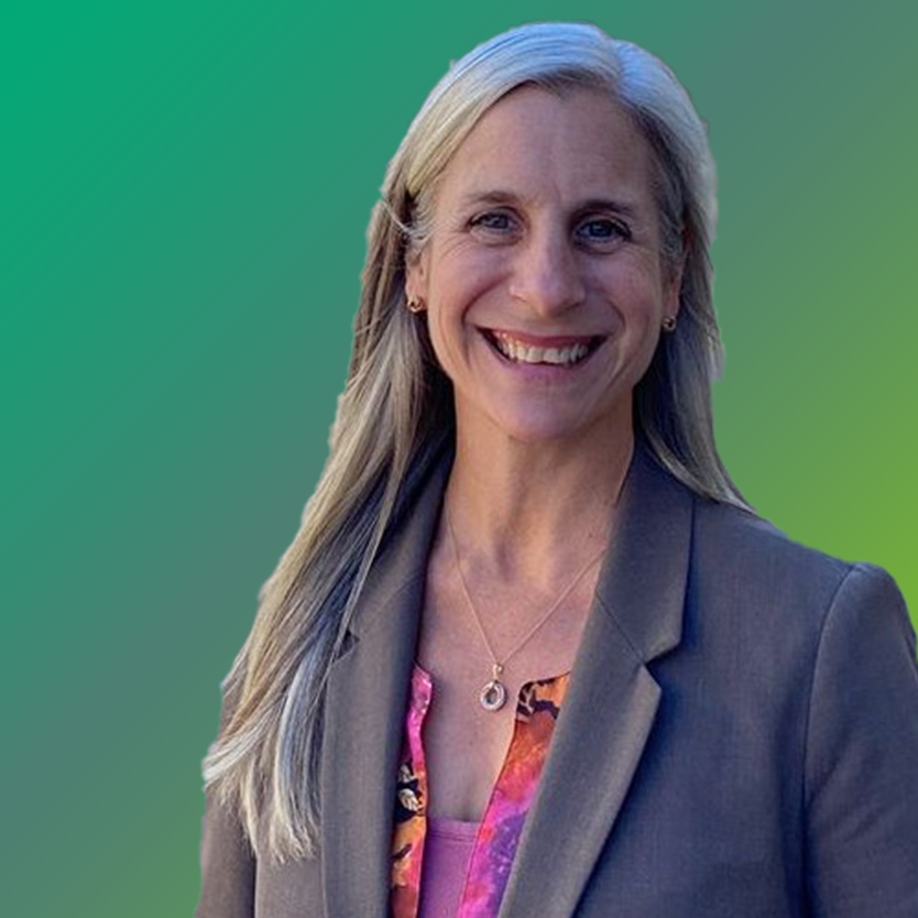
 Danielle Irwin, LEED AP, PWS Danielle Irwin, LEED AP, PWS
Director
Cummins Cederberg
Danielle Irwin is a waterfront and nearshore expert with more than 20 years of experience in the public sector working for FDEP, and the private sector, both as the former owner of her own consulting firm and now as a Director at Cummins Cederberg, a marine and coastal engineering firm. Her education training includes a BS in Biology, BA in Environmental Studies, and her MS in Oceanography. Danielle is a Certified Floodplain Manager, Professional Wetland Scientist, LEED Accredited Professional, and WEDG Associate with expertise in working waterfronts, sea level rise adaptation, and coastal resiliency. Her practice includes project management, grant funding, and state and federal environmental permitting, rulemaking and policy.
|
Session B3.2
Collaborative Assessment of Wild and Scenic Rivers
Joshua Theurer
2:30 – 3:00 PM (PT) | 5:30 – 6:00 PM (ET)
| About the Presentation |
|
The National Wild and Scenic Rivers System (NWSRS) protects and manages iconic and ecologically important rivers across the country. Rivers given this designation are free-flowing, and have high water quality and other unique natural, cultural, and recreational values. Yet the NWSRS lacks a comprehensive water quality assessment of its rivers; most have either an unassessed, unknown, or impaired water quality status. This is a major challenge, since these systems provide crucial ecological benefits, as well as drinking water for 1 in 10 Americans. Adventure Scientists “a nonprofit organization that works with scientific partners to manage specialized volunteers to collect high quality data in any environment“ has partnered with the U.S. Forest Service, Bureau of Land Management, and National Parks Service to address this issue and inventory these priority rivers.
In this four year project, hundreds of Adventure Scientists volunteers skilled in rafting, kayaking, mountain biking, and backcountry hiking will gather data on water quality for designated WSRs across the nation. This effort will provide advisory data for state agencies to use in their surface water assessments and meet standards of the Clean Water Act, as well as inform federal agencies' decisions for land-based activities and policies affecting surrounding WSR basins. Additionally, nonprofit partners intend to use the data to raise awareness with local groups and the public, and advocate for improvements across these rivers. This presentation will detail a variety of lessons learned from this project, including study design and data collection processes, best practices for involving citizen scientists in environmental research, and creating effective synergistic partnerships. Participants will learn about ways that they can get involved in this project, and gain new insights related to their work as river managers, conservationists, and advocates.
 Biology Track, 0.5 AICP Credits Biology Track, 0.5 AICP Credits
|
| About the Speaker |
|
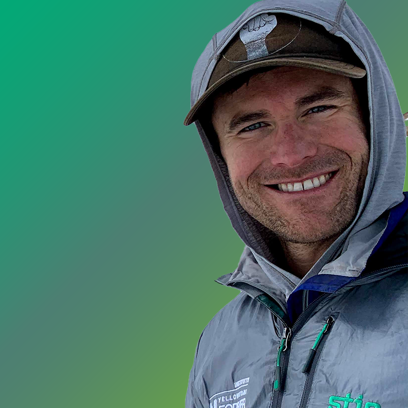
 Joshua Theurer Joshua Theurer
Senior Manager, Project Design
Adventure Scientists
Joshua began cultivating his inner nerd at a young age through lessons delivered by his naturalist grandparents. Be it birding by ear while working in the garden or pinning butterflies in the evening, he found himself fascinated with all aspects of natural history. This fascination blossomed into the pursuit and completion of a B.S. in Wildlife Biology and Philosophy at the University of Wyoming. After spending the following 8 years working in the field on various research projects throughout the western United States with a myriad of taxa, he began deepening his understanding of the human realm through an M.S. in Environmental Studies at the University of Montana. Joshua now lives in Bozeman where he enjoys taking long walks in the woods, preferably with skis attached to his feet, or scrambling around the peaks like a little kid, filled with the same fascination that brought him to this place.
|
Session B3.3
Assessing Environmental Impacts in the Context of Dynamic Baselines
Rajiv Prasad
10:00 – 10:30 AM (PT) | 1:00 – 1:30 PM (ET)
| About the Presentation |
|
Human socioeconomic activities (“projects”) are often thought to incrementally add adverse impacts to baseline conditions associated with natural or environmental resources (e.g., water temperature and 95th percentile discharge (a low-flow metric) in a stream reach). Baseline conditions may have inherent natural variability that can be affected by the interaction of projects with the environment. In addition, climate change and extreme events can disrupt the baseline—the former usually via gradual changes and the latter usually via abrupt, more rapid changes. These disruptions can result in baseline conditions exceeding acceptable levels both in the short-term (e.g., for a period following an extreme event) and the medium-to-long-term (e.g., from persistent effects of climate change).
To accurately assess environmental impacts from existing and new or proposed projects, an analyst must consider the dynamic nature of the baseline. In this paper, we demonstrate how accounting for the disruptions caused by climate change and extreme events can be quantified and used in decision-making. A stream reach is used in a case study where water temperature and discharge variations are simulated using a predictive model in response to postulated climate change and extreme events. The differences in information that can support decision-making for a proposed project, generated by two assessment scenarios—(1) static/snapshot baseline conditions and (2) dynamic baseline conditions—are illustrated.
 Biology Track, 0.5 AICP Credits Biology Track, 0.5 AICP Credits
|
| About the Speaker |
|
 Rajiv Prasad Rajiv Prasad
Earth Scientist
Pacific Northwest National Laboratory - 1
Dr. Prasad has a PhD in Civil and Environmental Engineering from Utah State University. He is currently an Earth Scientist at the U.S. Department of Energy's Pacific Northwest National Laboratory (PNNL). Since 2004, he has led hydrology-related safety reviews and environmental analyses for supporting licensing of U.S. nuclear power plants. He has contributed to the development of technical bases for flood hazard assessments including local-scale flooding, riverine flooding, and tsunamis. He is currently developing probabilistic flood hazard assessment frameworks for nuclear power plants. He is also the technical lead of FACET, the Framework for Assessment of Complex Environmental Tradeoffs, being developed by the Energy and Environment directorate at PNNL, that aims to advance complex environmental assessments by incorporating the effects of climate change and extreme events explicitly, leveraging next-generation predictive modeling, considering a wide range of stakeholders benefits, and providing a scientific, defensible basis for equitable tradeoffs analysis.
|
|

 Danielle Irwin, LEED AP, PWS
 Joshua Theurer
 Rajiv Prasad