|
Session C5.1
Use of VIP with Public Hearings
Carolyn nelson
11:00 – 11:30 PM (PT) | 2:00 – 2:30 PM (ET)
| About the Presentation |
|
Virtual public involvement (VPI) provides an array of cutting edge tools that can be used either as stand along technologies or are better paired with in-person public involvement activities. The end goal in using VPI is to expand transportation professionals outreach to public by connecting with greater numbers of people in ways that are more innovative than the traditional public involvement forum. The use VPI for NEPA required public hearings under 23 USC 128 mandates certain requirements are addressed to appropriately adhere to FHWA regulatory requirements.
 Public Involvement Track, 0.5 AICP Credits Public Involvement Track, 0.5 AICP Credits
|
| About the Speakers |
|
 Carolyn Nelson Carolyn Nelson
Civil Engineer/Environmental Protection Specialist
DOT-FHWA
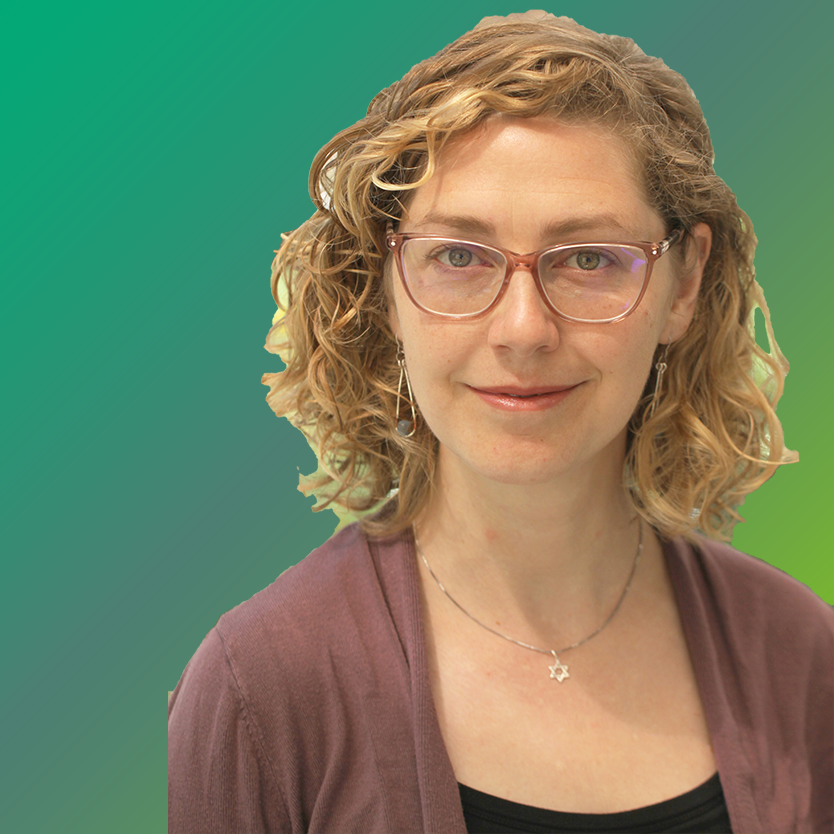
Carolyn Nelson, P.E. is a Civil Engineer who works as a Senior Project Development and Environmental Specialist in the Office of Project Development and Environmental Review. Responsibilities include providing technical assistance and project oversight regarding NEPA compliance to FHWA Division Offices, federal partners, State and local agencies. Carolyn is the NEPA lead for Environmental Justice, Title VI, CSS/D, and Public Involvement. Carolyn is a Licensed Professional Engineer and holds B.S. and M.S. degrees in Civil Engineering.
|
Session C5.2
Geospatial Tools for Public Involvement: Improving Outreach and Fostering Citizen Scientists through Location
Mike Bialousz & Sunny Fleming
11:30 – 12:00 PM (PT) | 2:30 – 3:00 PM (ET)
| About the Presentation |
|
In today's always connected world, people expect all organizations to have the same type of service, convenience, and open communication as they have with their personal networks. This evolution of citizen engagement is replacing old methods for communication and requiring organizations to become more transparent. With Geographic Information Systems (GIS), you can publish apps that provide a two-way data exchange between your organization and citizens. These comprehensive apps enable agencies to more easily brief decision-makers on potential impacts of projects and elicit feedback from stakeholders and constituents while keeping them readily updated on projects and initiatives.
Mobile apps are replacing inefficient paper-based information sharing, allowing data to stay current and eliminating printing costs. In this presentation we will explore how GIS can improve your outreach strategy while helping to educate the public on how regulatory and management programs impact the environment and fostering citizen engagement with these and other initiatives. Using GIS, organizations with limited resources are able to leverage their community as an extension of their efforts, helping them gather information on their natural resources and ultimately make better decisions. We will discuss examples and provide demonstrations from various environmental protection and management agencies across the country.
 Public Involvement Track, 0.5 AICP Credits Public Involvement Track, 0.5 AICP Credits
|
| About the Speaker |
|
 Mike Bialousz Mike Bialousz
National Account Executive - Environmental, State Government
Esri
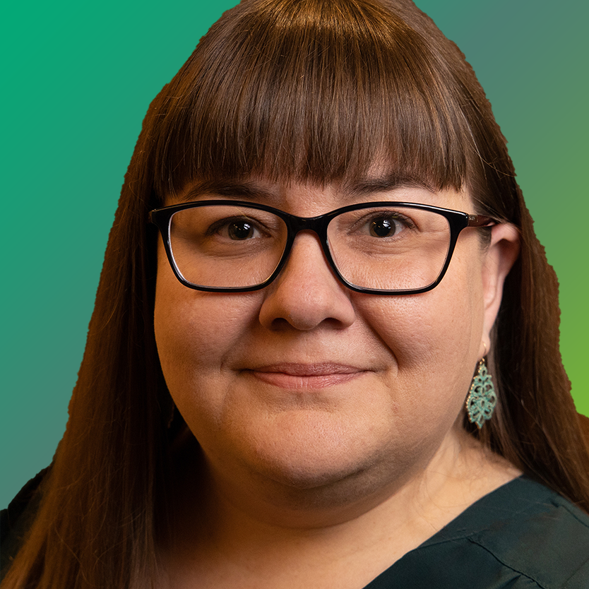
Mike Bialousz is Esri's National Account Manager for state government environment and natural resources. Mike has more than 25 years of experience working in GIS and mapping, including management level positions in the private sector and Pennsylvania state government. All of Mike's experience has involved implementing GIS for natural resources challenges and he has also taught GIS at several Pennsylvania colleges and universities for the past 13 years.
|
|
 Sunny Fleming Sunny Fleming
National Solutions Engineer - Environmental, State Government
Esri
Sunny Fleming is Esri's National Solution Engineer for state government environment and natural resources. Sunny's academic background is in botany and plant ecology. Her work background includes seven years in state government implementing GIS at Tennessee's Division of Natural Heritage and streamlining workflows and addressing challenges within Tennessee State Parks.
|
Session C5.3
Planning with Communities in Dynamic Environments—Using a Flexible and Adaptive Long-Term Floodplain Planning Approach for Pierce County’s Clear Creek Strategy Plan
Lynn Turner, Angela Angove, & Heather Page
12:00 – 12:30 PM (PT) | 3:00 – 3:30 PM (ET)
| About the Presentation |
|
Faced with significant flooding 6 times in the last 15 years, the community around Clear Creek in Pierce County, Washington, has struggled with damages to infrastructure, compromised safety for residents, and threats to the viability of agriculture in the area. At the same time, streams in the area provide the last remaining refuge for salmon in the lower Puyallup River basin. The residents cherish their farms, rural character, close-knit neighborhoods, and unique natural areas. However, they continue to confront issues around flooding and drainage, agriculture and land use, habitat and ecosystem functions, and social challenges. Pierce County and a team of environmental professionals conducted outreach and worked with the local community to develop a plan to improve these conditions in the area and to address uncertainties around changes to the climate, social conditions, and project funding. The resulting Strategy Plan includes two key innovations: 1) using a "pathways" approach to adaptive planning that allows for changing conditions over time, and 2) creating a fully online plan in an Esri Story Map to provide a long-range vision and flexible updates. This approach was driven by resilience thinking, and focused on multi-benefit solutions and a commitment to transparency.
 Public Involvement Track, 0.5 AICP Credits Public Involvement Track, 0.5 AICP Credits
|
| About the Speakers |
|
 Lynn Turner Lynn Turner
Senior Planner
Anchor QEA, LLC
Lynn Turner has extensive experience synthesizing complex technical information into accessible documentation for the public and decision-makers. She has authored or co-authored more than 100 documents, through processes that included coordination, outreach, and collaboration with agencies, tribes, stakeholders, and the public. She is experienced in developing strategic plans to guide decision-making and address present and future needs for floodplain resiliency and multi-benefit projects. Lynn's problem-solving, communication, and specialized documentation skills bridge regulatory requirements and audience needs. Her range of experience results in products that distill relevant messages and key information from discussions, analyses, and evaluations into clear and concise assessments and plans.
|
|
 Angela Angove Angela Angove
Project Manager
Pierce County Planning
Angela Angove is a Project Manager at Pierce County Planning and Public Works in the Surface Water Management division. She is currently working on various plans and projects that support integrated floodplain management including a habitat conservation plan, lakes management program and levee setback feasibility study. Prior to joining Pierce County in 2015, she spent 12 years working as a Project and Program Environmental Manager for the Washington State Department of Transportation. There she focused on NEPA/SEPA and permit compliance for many large transportation improvement projects including the Alaskan Way Viaduct Replacement Program, I-90 Tolling Project, and I-405 Program.
|
|
 Heather Page Heather Page
Principal Environmental Planner
Anchor QEA, LLC
Heather Page is currently leading and participating in multi-benefit flood studies, plans, and environmental review documentation for local and state agencies in Washington State. For these efforts, she has been involved in the early planning stages "including community, tribal, and stakeholder outreach" to determine objectives and actions that best meet the community's needs and values. For the Clear Creek Strategy Plan, Heather oversaw the outreach and facilitation efforts along with development of the Strategy Plan using a pathways approach. She is also managing technical studies and environmental review documentation for the Chehalis Basin Strategy, which evaluates flood damage reduction and aquatic species habitat restoration actions in three separate counties within a 2,400-square-mile basin.
|
|

 Carolyn Nelson
 Mike Bialousz
 Sunny Fleming
 Lynn Turner
 Angela Angove
 Heather Page

