Concurrent Sessions II | April 29 | 11:30 – 1:00 PM
Session 2.1 A
Public Involvement | The Power of Presence and the Art of Stakeholder Engagement
11:30 – 12:30 PM
| About the Presentation |
|
Effective land-use and environmental planning is not just about comprehensive plans and desktop analysis — it is about creating vibrant, resilient communities that balance environmental protection with human needs. This session delves into the critical role of public and key stakeholder engagement in shaping sustainable land and water-use decisions. We will explore innovative strategies for fostering meaningful dialogue with diverse stakeholders, including engagement tools, technological advancements, partnership opportunities, and collaborative decision-making processes. Case studies will highlight successful examples of community-driven environmental planning by demonstrating how inclusive participation can lead to more equitable and environmentally sound outcomes. By empowering citizens to have a voice in the future of their communities, we can build a more sustainable and equitable world.
Learning Objectives
- Understand the Importance of Public and Stakeholder Engagement
- Explore Innovative Engagement Strategies
- Develop Practical Skills for Effective Engagement
|
| About the Speaker(s) |
|
|
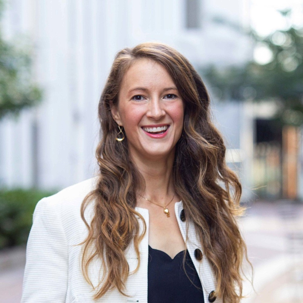
Katherine Amidon, AICP
Water Resources Senior Planner
Bolton & Menk, Inc.
Katherine is a water resources senior planner with a focus on planning, land use/water quality, stakeholder engagement, park development, and infill redevelopment. She began her career in 2011 and as project manager for multiple municipal projects, now leads teams of professional engineers, landscape architects, planners, and subcontractors in environmental assessments, strategies, and planning. An AICP-certified planner, Katherine holds a master's degree in city and regional planning with an emphasis on environmental planning and projects of public interest. She is most passionate about projects that involve water, and she takes a sustainable approach to project research, innovation, and implementation.
|
|
|
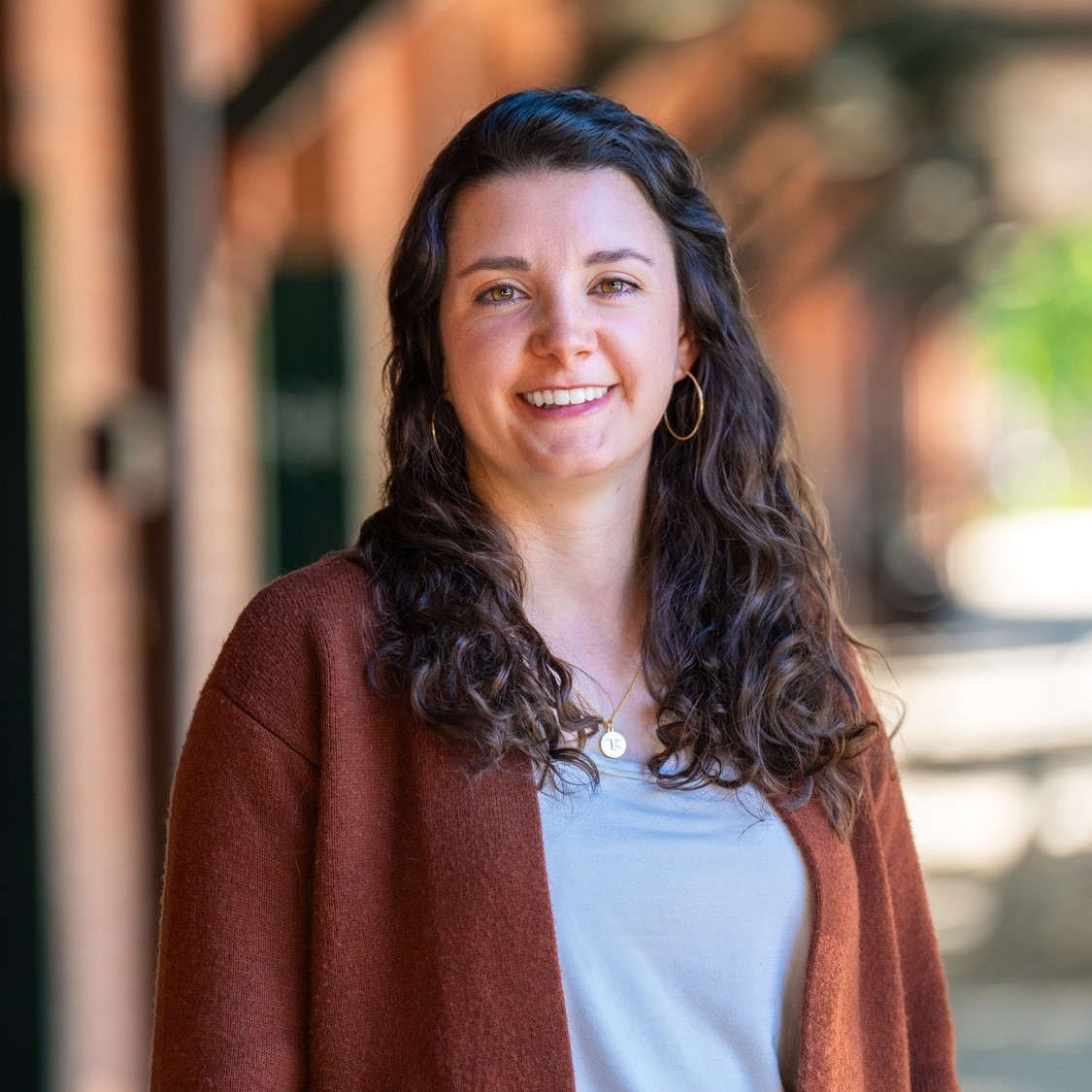
Madeleine Bolick, GISP, PhD
Senior GIS Specialist
Bolton & Menk, Inc.
A South Carolina native, Madeleine began her GIS career in 2018 and serves as a senior GIS specialist on the Bolton & Menk team. An expert in advanced geospatial research, she has experience as a city GIS administrator and has a depth of understanding and experience at all project levels including highly detailed mapping and analysis using cutting-edge technologies like machine learning, Python programming, and UAVs, as well as creating GIS tools for public engagement strategies. Madeleine’s passion for GIS lies in its ability to help examine our environment and create a more sustainable future.
|
Session 2.1 B
NEPA | Into the Unknown: Defensible NEPA on Uncertain Actions
12:30 – 1:00 PM
| About the Presentation |
|
The National Environmental Policy Act (NEPA) challenges practitioners to assess the potential environmental impacts of federal undertakings, no matter how routine or complex. Most federal actions have a clear project location, established construction boundary, and well-defined context in which to consider the severity of impacts. But what happens when you are tasked with undertaking the NEPA process on a long-term planning action, a project with an uncertain outcome, or a proposed action that seems to include everything plus the "kitchen sink"? How can you frame your NEPA analysis to account for market conditions or a project that may require decades to fully implement? How do you define "context" in terms of significance of impacts when you are dealing with fluid project constraints? While it is not possible to account for every circumstance that may arise, it is possible to address these real-life uncertainties with out-of-the-box thinking and the ability to consider the outside influences on the project in the real world. Uncertainty is a fact of life, and it need not inhibit your analysis.
Learning Objectives
In this presentation, we will present examples of recent NEPA documents that required accounting for uncertainties in scale, location, or time. We will share the strategies we used to develop defensible NEPA documents, provide meaningful analyses, and help the agency and decision-makers achieve their mission.
|
| About the Speaker(s) |
|
|
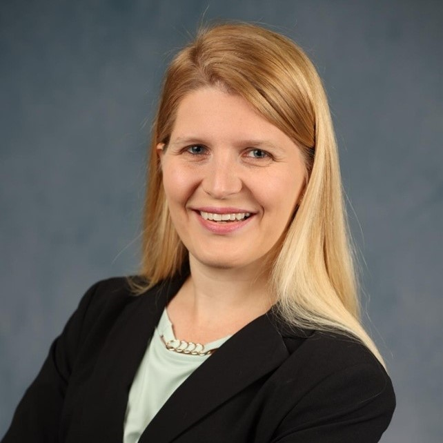
Erin J.M. Kouvousis, CHMM, CEA
Senior Environmental Scientist
Potomac-Hudson Engineering, Inc.
Erin Kouvousis is a Senior Environmental Scientist with nearly 15 years of experience supporting a range of NEPA and compliance projects for federal, state, and private-sector clients. Over 13 years of her career have been with PHE, first in the Washington, D.C. area and now in Ohio. She has supported some of the nation’s most complex Environmental Impact Statements and managed NEPA tasks for projects planned across the country. In addition to NEPA, she currently supports multimedia environmental compliance audits at facilities nationwide. She holds a B.S. in Conservation and an M.S. in Ecology from Kent State University.
|
Back to Top
Session 2.2 A
Biological Resources | How States Can Inform Sustainability Reporting Through Nature-Based Solutions
11:30 – 12:00 PM
| About the Presentation |
|
Branches of state government invest heavily in nature-based solutions to address environmental concerns. As used here, “nature-based solutions” (NBS) is a broad term that encompasses the use of nature and natural, environmental processes to address an environmental concern. For example, many state Departments of Transportation use the restoration, enhancement, and protection of natural ecosystems to meet compensatory mitigation requirements under the federal Clean Water Act. State Departments of Environmental Protection may sponsor and promote stormwater programs that utilize wetlands, bioretention, and other nature-based systems to address stormwater quality concerns and TMDL requirements. While typically managed to meet a regulatory need, the use of NBS approaches provides many environmental benefits above and beyond regulatory requirements – benefits that can have a positive influence on State accounting of overall sustainability.
This seminar will focus on case studies of evaluating the full suite of co-benefits that NBS projects provide, and using those benefits to better inform sustainability goals and objectives. Co-benefits are quantified into major themes of water quantity, water quality, air quality, biodiversity and habitats, and socio-economics. A methodology will be demonstrated for calculating and quantifying these co-benefits, and how the quantities allow for better overall accounting of sustainability efforts.
Learning Objectives
- Introduce Sustainability Development Goals (SDG)
- Demonstrate how Clean Water Act Mitigation can enhance a State's Ranking
- Introduce "nature-based solutions" (NBS) modeling
|
| About the Speaker(s) |
|
|
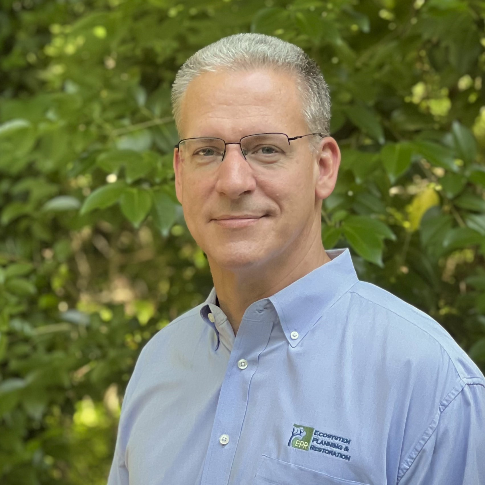
Kevin Tweedy
Principal Engineer
Ecosystem Planning and Restoration
Kevin Tweedy is a Founder, Vice President, and Principal Engineer for Ecosystem Planning and Restoration (EPR), an environmental consulting firm that specializes in water resources and environmental restoration work. He is a specialist in environmental assessment, restoration design of natural ecosystems, watershed management, and stormwater management. He has served as project manager, project engineer, and senior engineer for well over 200 watershed and ecosystem restoration projects across the U.S. As Principal Engineer for EPR, he is responsible for corporate strategy and vision, and senior oversight of all engineering services performed by the company. He is currently licensed as a Professional Engineer in nine states.
|
Session 2.2 B
Cultural Resources | The Foot: A Community Remembered
12:00 – 1:00 PM
| About the Presentation |
|
Transportation projects not only improve community connections, but may also create cultural connections. Explore how media production was incorporated as a unique Section 106 mitigation stipulation for adverse effects. The Rex Whitton Expressway/Lafayette Street ramp project area in Jefferson City, Missouri, has a compelling cultural history, with former residents of a long-ago demolished neighborhood still living, who describe the troubling history of highway construction and urban renewal on marginalized communities from their experiences. The Missouri Department of Transportation (MoDOT) sponsored a 40-minute film documentary to tell this previously "dismissed" history through memories of its former residents. The Foot: A Community Remembered is a unique, intriguing, engaging, memorable, educational, and powerfully emotional film documentary produced to preserve the legacy of this historic African-American neighborhood now lost in time.
Learning Objectives
- Explore how media production was incorporated as unique mitigation to adverse effects on historic properties.
- Understand how roads and bridges not only make transportation connections, but may also make cultural connections.
- Discuss the troubling history of highway construction and urban renewal in the United States, using Jefferson City's experience as a microcosm. Recognize the power of historic preservation through memory, even as the built environment is lost.
|
| About the Speaker(s) |
|
|
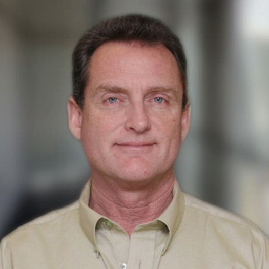
Gary Francis Quigg, MA, RPA
Senior Cultural Resource Investigator
Lochmueller Group
Gary Francis Quigg is Senior Cultural Resources Investigator with Lochmueller Group. Both a qualified professional historian and archaeologist, Gary has been researching, evaluating, & interpreting cultural resources for 25+ years through Section 106 review, museum exhibitions, & television documentaries. He has received 3 Telly Awards and an Emmy Award for his PBS work on Indiana history. The Foot: A Community Remembered was recently nominated for a 2024 Emmy Award. Gary received his B.S. from Ball State University and M.A. from Indiana University in Public History.
|
|
|
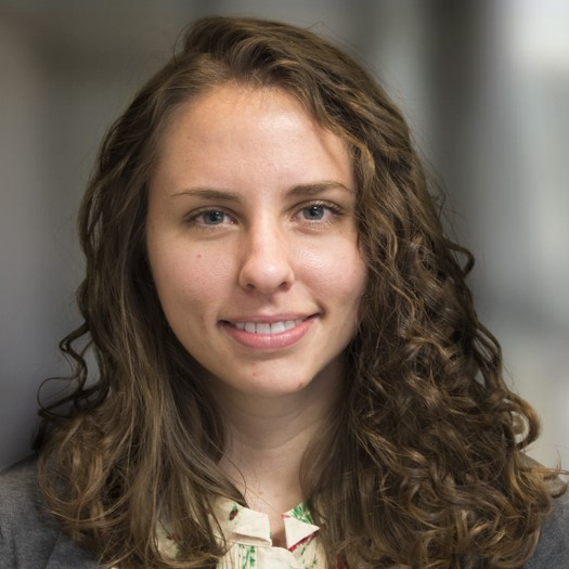
Hannah Blad
Historian/Section 106 Specialist II
Lochmueller Group
Hannah Blad is a Historian/Section 106 Specialist with Lochmueller Group. She enjoys long walks on the beach but hates writing about herself. She received B.A.s from both Saint Mary's College and Indiana University and a M.A. from the University of Delaware in Historic Preservation. She has worked for a decade in the cultural resources field in Indiana, Illinois, Missouri, and Kentucky specializing in Section 106 review and previously worked as a cultural historian for the Indiana National Guard.
|
Back to Top
Session 2.3 A
Cultural Resources | Mapping Charleston's Black Burial Grounds Project
11:30 – 12:00 PM
| About the Presentation |
|
Over the past two years, the Preservation Society of Charleston (PSC) and Anson Street African Burial Ground Project (ASABG) worked with community members to identify and document Black burial sites in the City of Charleson, SC through the Mapping Charleston's Black Burial Grants Project. The Project was funded by a grant from the National Park Service African American Civil Rights Grant Program. The goal of the project is to provide the City of Charleston with a comprehensive map of burial grounds so these sacred sites can be better protected from development impacts.This session will be a joint presentation from PSC and TRC Companies key Project Team members. We will provide an overview and demo of the public-facing Esri Experience Builder application built within the Preservation Society's ArcGIS Online platform. The application and its data are shared with the City of Charleston for integration into their Esri environment and the public have access to the application, which includes a survey feature allowing community members to contribute additional burial ground location data. The presentation will include information on the history and goals of the project and will highlight the collaboration that took place between the PSC and TRC to build a user-friendly geospatial application.
Learning Objectives
The Preservation Society of Charleston is a non-profit organization dedicated to the preservation and enjoyment of the City's character, quality of life, and diverse neighborhoods. The PSC has served as a thought-leader and community organizer since 1920, using lessons from the past to inform future city planning. The Mapping Black Burial Grounds Project, the focus of this presentation, is just one of the important initiatives led by the PSC. Understanding our community history and connections is an important component of cultural and historic preservation. For historic preservation to be inclusive and truly reflect our shared history, it is crucial to recognize and honor the contributions of African American communities to American history and culture. It strengthens community identity and inspires future generations to appreciate their heritage. This presentation will focus on the importance of historic preservation to our local communities and highlight the importance of location intelligence in providing valuable insights and data that help in various aspects of conservation and management. We will discuss the collaborative approach between the historic preservation and geospatial experts that led to the successful execution of a tool that can help prioritize management efforts, facilitate community engagement, and inform policy development. The Project showcases how the integration of GIS technology with historic preservation enhances the management and analysis of cultural heritage sites.
|
| About the Speaker(s) |
|
|
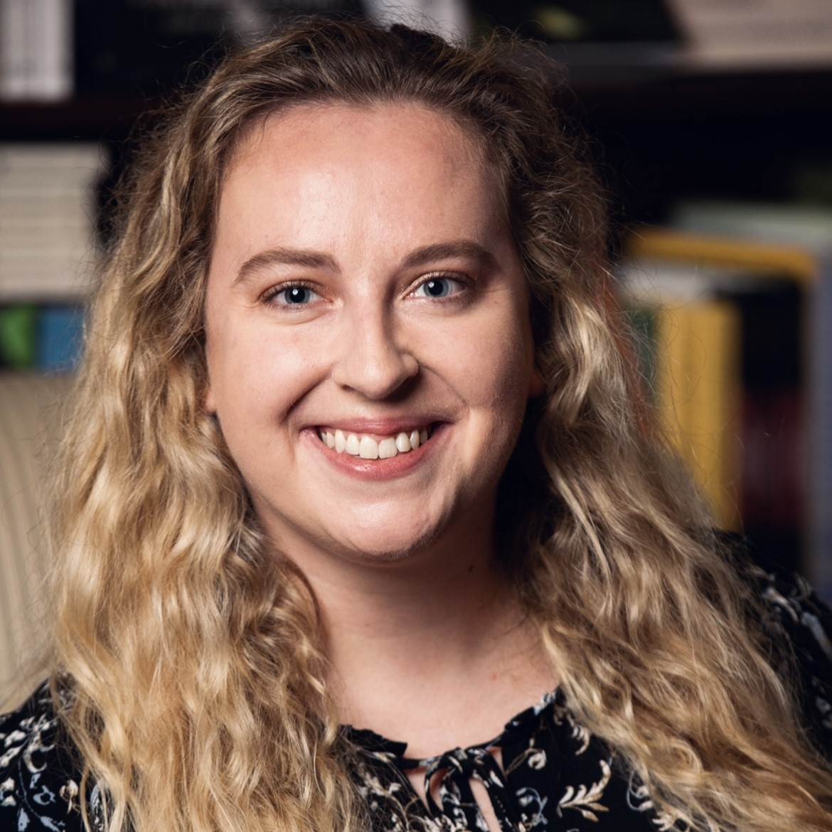
Laurel Fay
Manager of Preservation & Research
Preservation Society of Charleston
As Manager of Preservation & Research at the Preservation Society of Charleston, Laurel M. Fay manages preservation initiatives including the Mapping Charleston's Black Burial Grounds Project, Historic Markers Program, and Charleston Justice Journey. Laurel specializes in archival research, digital mapping, cemetery preservation, inclusive storytelling, visualization, and advocacy. She earned a Master of Science in Historic Preservation from Tulane University School of Architecture, and a Bachelor of Science in Marketing with a minor in Environmental Studies at the College of Charleston.
|
 |
Amber Horrie
GIS Director
TRC Companies
Amber is the Technical Director of GIS Services, leading a group of geospatial and visualization experts. Amber and her team bring diverse experience in the development of data visualization tools to inform planning and decision making. Her experience includes geospatial analysis, database management, technical training for staff at all levels, and building community and stakeholder collaboration around geospatial technologies. She has created public facing geospatial applications in support of a variety of environmental projects. Amber has a thorough understanding of the technical workings of GIS and its capabilities and has worked with clients over the years to create efficiencies and innovative solutions to data management and GIS workflows.
|
Session 2.3 B
Cultural Resources | Protecting Civil War Treasures at Gettysburg National Military Park
12:00 – 12:30 PM
| About the Presentation |
|
In the years following the Civil War, trails and roads were built on Little Round Top at Gettysburg National Cemetery to allow for construction of monuments and circulation of visitors. Specifically, the Rehabilitation of the Little Round Top Visitor Use Area project included multiple elements that would cause ground disturbances. This rehabilitation project added parking, curbing, and proper storm drainage systems to park roads. Rehabilitation also removed and revegetated social trails and added interpretive signs throughout the Little Round Top area. Breastworks that were constructed during the civil war had fallen into disrepair over time were also disassembled and restacked. Archaeological monitoring of the demolition and construction phases of the rehabilitation project was required to record and document archaeological deposits that were to be impacted by ground disturbing activities and to ensure proper treatment of the monuments and historic features.
Additionally, Stantec supported documentation of and, if possible, preservation of the 1890's Telford-type road base when observed during rehabilitation activities. Telford-type road construction was used during the Gettysburg National Park Commission Period and is a NRHP contributing feature of the park. Prior to ground disturbing activities metal detecting was conducted to recover artifacts related to the park period of significance. Stantec collected location data for 2,923 metal detector hits. Metal detector hits included battle-related items, such as Minié balls, artillery fragments, uniform buttons, and box plates, as well as items related to the Commemorative Era such as nails, iron straps, and souvenirs. Artifacts related to the period of significance for the park were collected and geographic information system location data was collected for each item.
Learning Objectives
Coming soon.
|
| About the Speaker(s) |
|

|
Steve Brann
Archaeologist
Stantec GS Inc.
Speaker bio coming soon!
|
Session 2.3 C
Cultural Resources | Mussel Memory: Archaeologists and Biologists Collaborating in Texas Rivers
12:30 – 1:00 PM
| About the Presentation |
|
"I wonder if other malacologists know about this kind of data?" This was the comment - made between an archaeologist and two biologists (the co-authors) while waist-deep in a Texas creek, searching for mussels - that sparked our proposed session. Specialists in seemingly unrelated fields, learning from each other through shared research. Freshwater mussel shells are commonly found in many archeological sites because people throughout history found them so useful - their meat was a food source, and their shells provided a raw material for everything from jewelry and tools to ceramics and paint. Archeologists study mussel shells to gain insights on ancient environmental conditions and the inhabitants' preferences and activities. As such, many (if not most) archeological testing and data recovery reports include detailed discussions of freshwater mussels with new data being made available to the public all the time. Malacologists/biologists investigate living mussels in modern waterways as well, to explore their habitats and ranges, and to manage their numbers in infrastructure development projects.
Malacologists routinely maintain detailed and up-to-date databases of species sightings and densities over time that are available to researchers. Scientists actively considering two distinct research perspectives on the same humble subject. What would happen if they did so together? Can mussel shells in a 3,000-year-old occupation site suggest certain species had a greater range than they do today? Could modern biological field efforts indicate how long it might've taken a pre-contact family to gather enough mussels for a meal? Can shell morphology inside an archeological site tell us where its occupants preferred to harvest mussels? Archeologist Mason Miller has worked with biologists on dozens of freshwater mussel studies in Texas. In this session, he will discuss highlights from his collaboration with biologists in the field, including detailed and meaningful archeological and biological interpretations derived from more than 30 archeological site excavations in the Lone Star State. In the end, Miller intends to encourage subject-matter specialists to look over their cross-disciplinary colleagues' shoulders and gain new insights and explore new research opportunities from which we all can benefit.
|
| About the Speaker(s) |
|
|
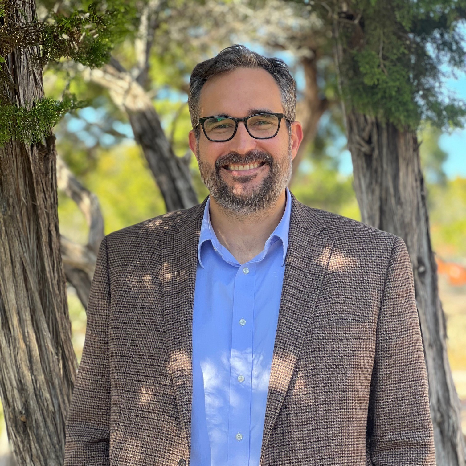
Mason D. Miller, M.A., Master of Arts in Nautical Archaeology; Registered Professional Archaeologist
Vice President
Environmental Research Group, LLC
Mason Miller is a Vice President, cultural resource specialist, and scientific diver at Environmental Research Group, LLC (ERG). Mason leads ERG's Austin, Texas office. Through his 20+ years of experience as a terrestrial archeologist and a biological study diver, Mason has developed a unique professional perspective that touches on the cultural and the natural resource worlds. He received his bachelor's degree in archaeology from the University of Texas at Austin and his master's degree in underwater archaeology from Texas A&M University in College Station. He lives in Dripping Springs, Texas with his wife and two sons.
|
Back to Schedule
|