Concurrent Sessions III | April 29 | 2:45 – 4:15 PM
Session 3.1 A
Public Involvement | Climate-Resilient Communities: A Planning Perspective
2:45 – 3:45 PM
| About the Presentation |
|
Climate change poses significant challenges to our communities, necessitating innovative approaches to environmental planning and management. There is no longer space for "planning how we've always done it", we must think differently. This session explores the critical role of planners in building climate-resilient and infrastructure ready communities through emerging technologies, creative spatial analysis, green infrastructure, and equity and social justice. We will delve into strategies for incorporating climate change adaptation and mitigation into local and regional planning processes, including hazard assessments, vulnerability analysis, and the development of climate action plans. Case studies from multiple sectors will review successful examples of climate-resilient planning initiatives that have improved climate resilience, enhanced ecosystem services, and protected vulnerable populations. By fostering collaboration between planners, policymakers, and the public, we can create sustainable and resilient futures for our communities.
Learning Objectives
- Understand the Impact of Climate Change on Communities.
- Explore Climate-Resilient Planning Strategies.
- Foster Collaboration and Innovation.
|
| About the Speaker(s) |
|
|
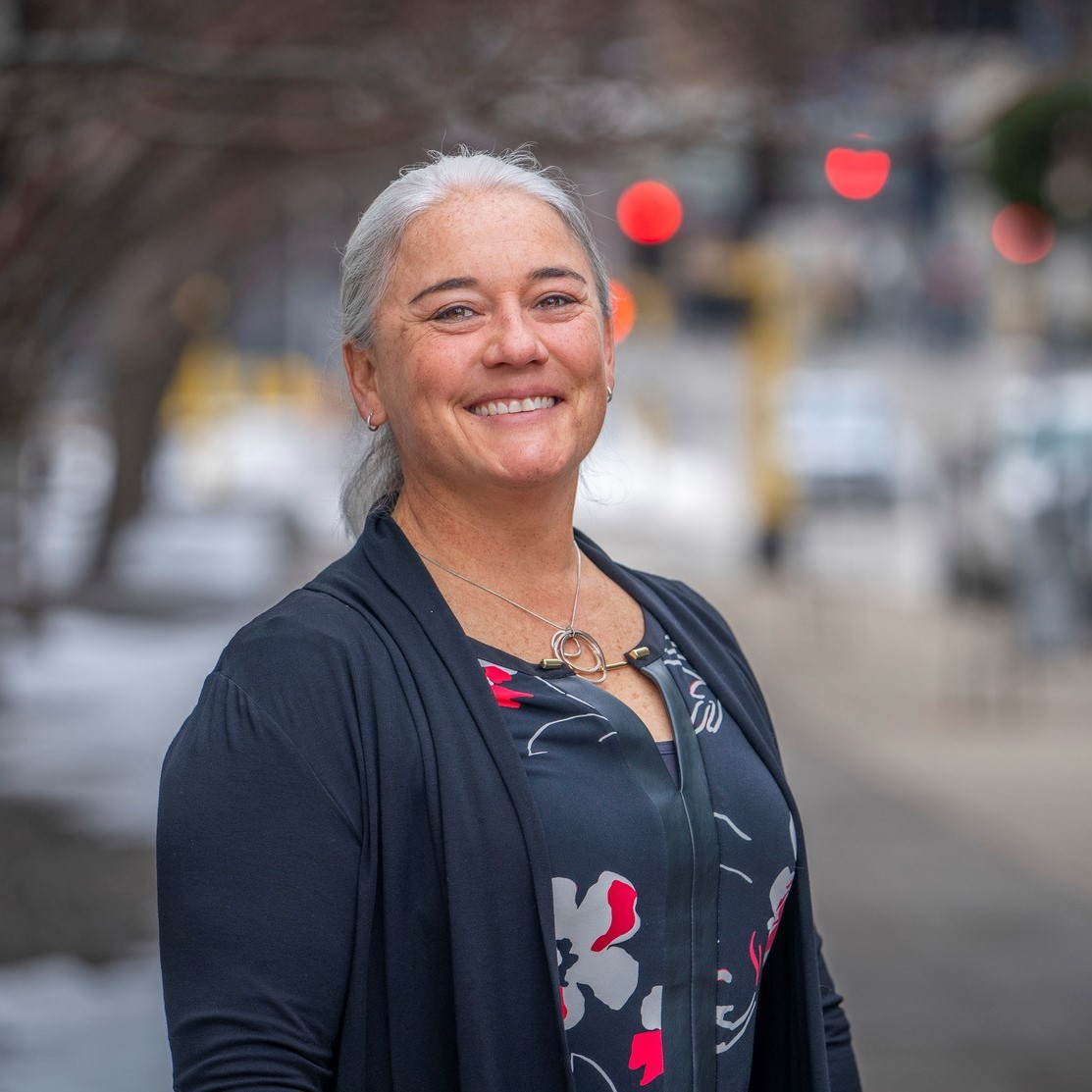
Angie Smith
Environmental Planning Group Leader
Bolton & Menk, Inc.
Angie Smith serves as the Environmental Planning Group lead at Bolton & Menk. Her career has spanned more than 25 years in both the public and private sectors, including continuing her service in the U.S. Army Reserve. She has had the opportunity to assess and promote sustainability planning and implementation projects within a diverse range of communities across the globe. Her experience and expertise revolve around a systems-level approach and advancing opportunities through active listening, sound science, and proactive partnerships.
|
 |
Katherine Amidon, AICP
Senior Environmental Planner
Bolton & Menk, Inc.
Katherine Amidon is a senior environmental planner for Bolton & Menk, a multidisciplinary firm offering a wide array of services ranging from planning, engineering, and design to project communications and GIS to accomplish their goal that all people should live in safe sustainable and beautiful communities. She is a hands-on project manager, who enjoys working alongside the public and key stakeholders on complex projects. Katherine is passionate about projects involving water, equitable access to nature, and regional land use analysis. She considers herself a "forever sponge“ there is always more to learn.
|
Session 3.1 B
NEPA | How to Relocate an Alaskan Airport
3:45 – 4:15 PM
| About the Presentation |
In rural Alaska, where there are no roads for residents to consistently access goods and services outside of their own community, airports are an essential part of serving community needs. While some coastal and river communities can receive goods through river barge service, the community of Noatak, Alaska, located on the bank of the Noatak River and 71 miles north of the Arctic Circle, has not been able to receive regular barge service since 1986 due to shallow river depth outside of the ice-free season. The community relies on air travel, snow machine, and small river boats as their main modes of transportation in and out of the community. Additionally, increasing Noatak River erosion is threatening the Noatak Airport runway where only 300 feet remain between the airport and the river in addition to the community water supply, landfill, cemetery, and sewage lagoon being subject to river erosion. When an airport and the communities' livelihood is being threatened by erosion what is the solution? Through alternatives analysis it was determined that relocating the airport two miles away from the Noatak River, current airport, and community is the most feasible solution. This would require constructing a new airport and associated facilities, building a road from the community to the new airport, constructing a new bridge, deactivate the existing airport, and coordination with the bulk fuel provider for a fuel transfer system and bulk fuel storage at the new airport. To transport heavy machinery and material for development of the new airport a winter snow road would need to be constructed to access an existing coastal port. A Federal Aviation Administration Environmental Assessment and Finding of No Significant Impact has just been completed through the National Environmental Policy Act process and the project is now in the next stages of permitting and design.
|
| About the Speaker(s) |
|
|
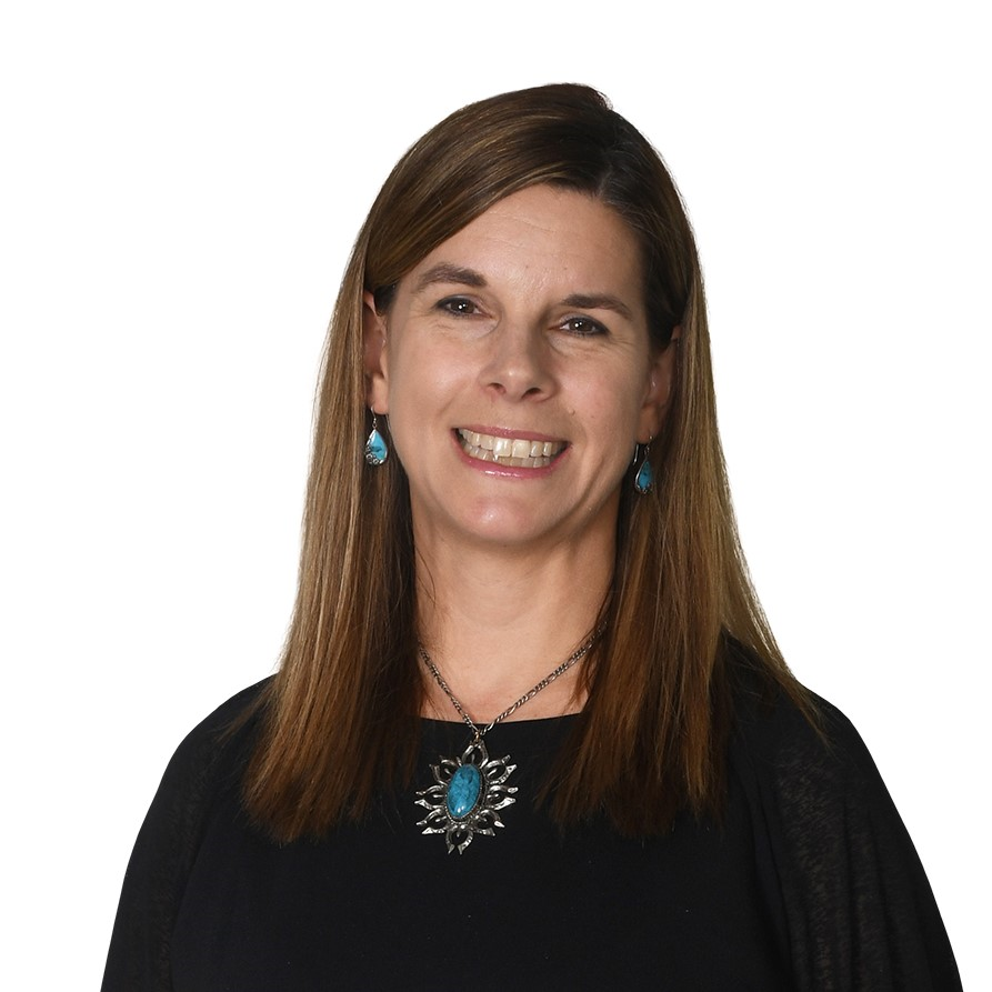
Kacy Hillman, M.S., PWS
Senior Associate Environmental Scientist
Stantec
Kacy is a certified Professional Wetland Scientist (PWS) with 18 years of field experience delineating wetlands, completing wetland functional assessments, and permitting for potential wetland impacts. She Kacy has led wetland delineations from 1 million acres to under an acre using a variety of field methods approved by the United States Army Corps of Engineers (USACE) and Ecology. She has experience working closely with the USACE and Ecology on environmental mitigation and permitting efforts and has been successful in working through complex land management issues to avoid potential project delays. Through her experience, Kacy has intimate knowledge of NEPA and the environmental permitting process.
|
Session 3.2 A
Biological Resources | Challenges with Permitting Subsea Cable Installations: Atlantic Case Studies
2:45 – 3:15 PM
| About the Presentation |
|
Subsea cables are critical infrastructure for internet, offshore wind energy farms, and oil and gas platforms. Subsea cable planning and installation presents unique permitting challenges, including a general lack of understanding of installation practices, impacts to both terrestrial and marine resources, and blurry jurisdictional boundaries, all of which can lead to longer agency review times. AECOM will present two examples of subsea cable permitting projects and the lessons learned from the experience. The NUVEM project involves a telecommunication cable landing at Myrtle Beach State Park in South Carolina. USACE permits for both route survey and installation involved extensive coordination with NOAA, SCDES, SHPO, and SC State Parks. Pre-existing infrastructure from a previous installation (FIRMINA) allowed for less land disturbance and no invasive HDD drilling, limiting impacts to terrestrial resources. However, for actions in marine environments, ESA Section 7 consultation with NOAA's Office of Protected Resources was necessary for both cable route survey and installation. NOAA review times are predictably slow in the region; which, coupled with aggressive installation deadlines, led to client scope adjustments and lengthier review times.
The North Atlantic Right Whale, drove NOAA's concern in South Carolina. NOAA also leveraged the connected nature of the larger international cable project to expand their review outside the jurisdictional limits of the USACE permit. Coupled with the federal review process were technical design changes, delays in survey results, state agency restructuring, complex interagency coordination, and new agency systems being used for submittal charge of permitting undergoing, led to delays in the overall permitting process, project schedule, and budget. Similarly in another example, extended NOAA consultation was necessary to finalize plans for replacing a power and communications cable in Long Island Sound. Nearly a year of active consultation with NOAA was necessary for impacts to essential fish habitat, despite the route, placement, and methods of the cable being similar to abandonment and the laying of two previous cables. However, no current survey data was available to support this claim. Ultimately, broad research was used to overestimate disturbance areas to cover any and all impact scenarios to the seafloor or any submerged aquatic vegetation.
Lessons learned from these examples included:
- Pre-existing infrastructure and recent similar projects do not necessarily ease the process or provide an accurate path for project approval.
- Client schedules do not influence agency actions. Client expectations must be managed in writing.
- Employment of worst-case scenario disturbance volumes for subsea substrate can facilitate project approvals without final routing.
- In marine environments, "previously disturbed" does not influence NOAA's impact determinations.
- Even if the client is amendable to providing additional information to satisfy NOAA requests beyond federal boundaries, this information should not be given lightly as it sets precedent for similar projects.
|
| About the Speaker(s) |
|
|
Amy Vargas, 18 Years of Consulting; BS, Botany, University of Georgia, 1999; MS, Biology, University of Houston, 2006
Senior Environmental Scientist/Planner
AECOM
Ms. Vargas has 18 years of experience as an environmental consultant for environmental permitting and NEPA compliance with subject matter expertise for land and water resources, especially coastal environments. She has supported projects in oil and gas (downstream and midstream), subsea cables, transportation, infrastructure, solar, economic development, and disaster-related projects. She served three deployments to the FEMA as a contractor to ensure environmental compliance for disaster assistance projects. Her experience also includes Wetlands Delineations, USACE CWA Permitting, Categorical Exclusions, EAs, EISs, BAs, and Phase I ESAs.
|
|
|
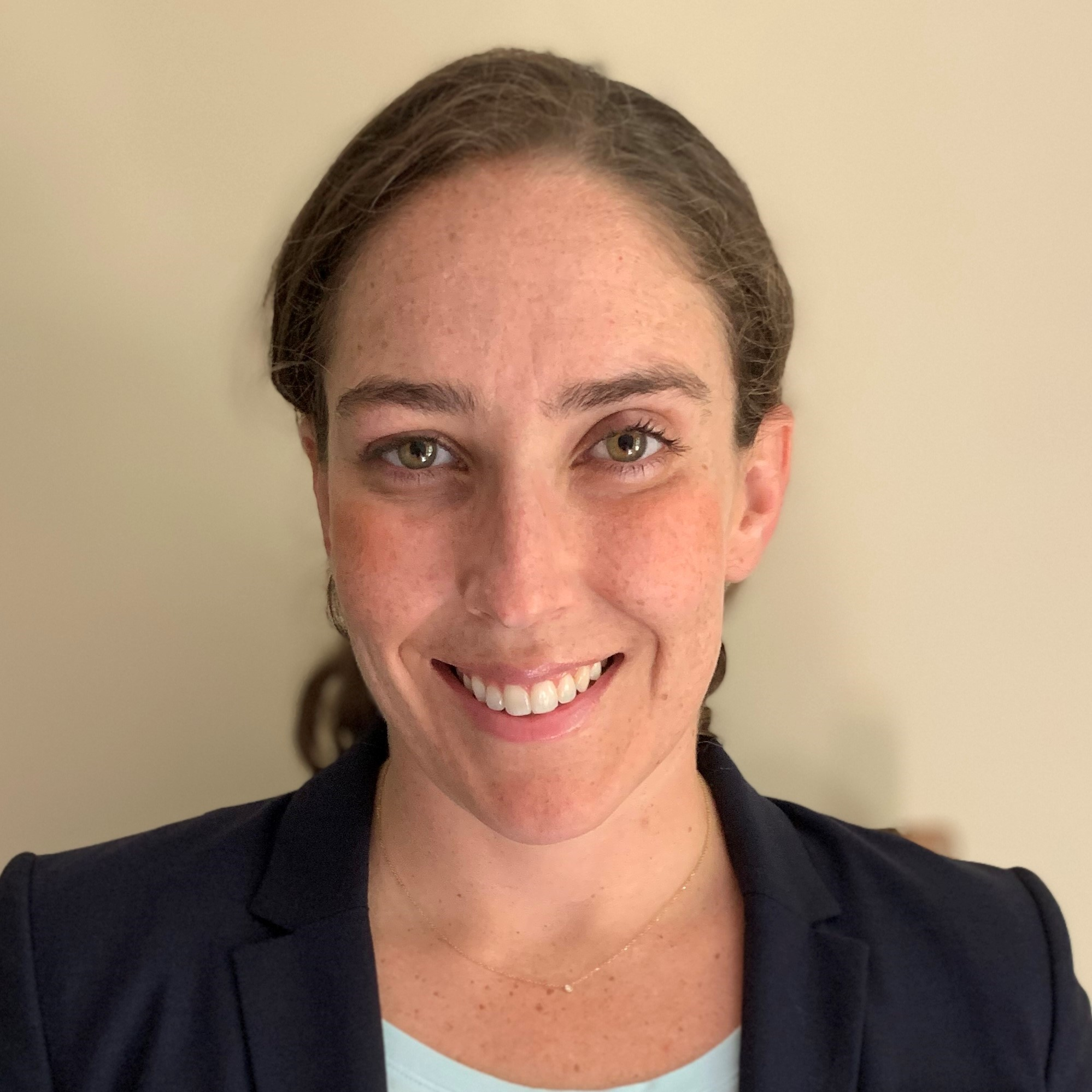
Kate Melanson, 2 Years of Consulting, 3 Years Government; PhD, MA, Ecology and Evolutionary Biology, University of California, Santa Cruz, 2018, 2015; BA, Biology, Oberlin College, 2012
Ecologist
AECOM
Kate Melanson, PhD, is an ecologist with a background in research, science policy, and science communication. Her scientific career began with sea turtles in her hometown of Jupiter, FL, and focused on disease ecology and science communication at Oberlin College. Kate received both her masters and doctorate at the University of California, Santa Cruz where she studied endangered species recovery and the policy behind endangered species interactions. She had two post-doctoral fellowships in science and policy: California Sea Grant State Fellowship and AAAS Fellowship. Kate transferred her skills in science, policy, ecology and communication to working at AECOM in Greenville, SC, with a focus on NEPA documentation and providing subject matter expertise.
|
Session 3.2 B
Biological Resources | Coral Relocation Case Study - USCG Key West
3:15 – 3:45 PM
| About the Presentation |
|
U.S. Coast Guard (USCG) Sector/Station Key West is a unified command consisting of six Fast Response Cutters, three small boat stations, an Aids to Navigation Team (ANT), and three staff departments. Located on Naval Air Station (NAS) Key West at Trumbo Point, the Sector/Station commander performs the duties of Search and Rescue Mission Coordinator; Captain of the Port; Federal Maritime Security Coordinator; Federal On-Scene Coordinator; and Officer in Charge, Marine Inspection. Sector/Station Key West's area of responsibility includes 55,000 square miles bordering the territorial seas of Cuba and the Bahamas. In September of 2017, Sector/Station Key West suffered extensive damage from Hurricane Irma. The USCG proposed to rebuild important support facilities damaged during Hurricane Irma including rebuilding the waterfront and shore facilities for Sector/Station Key West.
Rebuilding will include demolishing existing facilities and constructing a new travel lift and station. On November 29, 2021, the USCG submitted both a preconstruction notification (Nationwide 9) to the U.S. Army Corps of Engineers (USACE) and a National Marine Sanctuary Permit and Authorization application to the Florida Keys National Marine Sanctuary (FKNMS). On February 14, 2022, an application was submitted to the Florida Department of Environmental Protection (FDEP Application No.: 63260-009 EI). The USCG had conducted several benthic resource surveys in anticipation of in-water work at Sector/Station Key West. Benthic resources identified included 2,633 hard and soft corals, which were encrusted on piles and seawalls of the marina basin. Corals identified included several ESA listed corals. The AECOM team successfully rescued 18% and relocated 23% of the corals from the basin. The rescue/relocation operations were completed before the start of the coral bleaching event of 2023 in the Florida Keys in May 2023. Rescued corals were provided to several institutions conducting coral research.
At one-month post relocation (June 2023), all the hard corals and most of the soft corals remained attached. At three-months post relocation (August), all soft corals were dead, and most of the hard corals showed signs of bleaching or mortality. The Florida Keys underwent an unprecedented bleaching event during the summer of 2023, with extreme elevated water temperatures occurring throughout June - October 2023. Widespread bleaching of corals and associated mortality impacted this project significantly as documented in our 12-month monitoring event which indicated that overall survival rates of relocated corals were 67% of the colonies monitored. Updated surveys of the marina basin were conducted in December 2023 to determine the condition of corals that were not rescued or relocated. Rather than provide mitigation for those corals remaining in the basin, AECOM secured approval from NOAA to rescue what was left resulting in the additional rescue of 1,050 colonies of 10 species to rescue partners.
Learning Objectives
- Increase awareness of alternative mitigation solutions for unavoidable impacts to coral communities.
- Communicate the effectiveness of coral relocation based on the results in our case study.
|
| About the Speaker(s) |
|

|
Kelley Samuels, PWS
Environmental Planning and Permitting Department Manager - SE Region
AECOM Technical Services, Inc.
Ms. Samuels is a Senior Ecologist and an AECOM Certified Project Manager, based in the Orlando, Florida office. Kelley has over 25 years of experience as an environmental impact assessment and permitting specialist. Her expertise includes ecological assessments of flora and fauna (primarily in the southeast), with a specific focus on wetlands and wildlife as they relate to linear corridor analyses, environmental permitting, due diligence evaluation, and environmental compliance monitoring. Kelley has assisted in the delivery of federally funded projects that meet all aspects of the National Environmental Policy Act (NEPA) requirements including managing interdisciplinary teams from project development through the permitting, implementation and post permit compliance phases.
|
Session 3.2 C
Biological Resources | Data Visualization and Summation to Interpret Forest Habitat Conditions
3:45 – 4:15 PM
| About the Presentation |
|
ArcGIS Pro Model Builder was used to analyze nine datasets to map current and future habitat conditions in remote forests as a means of developing management strategies for stewardship activities. These spatial data provide a visual and tabular review to better inform where management actions should be employed to increase the value of habitat and speed by which those desired conditions may be reached. Tree stand age, rumple index, and canopy height data were spatially joined to demonstrate locations of mature forests and offer potential monoculture localities that may be thinned to reduce competition and increase growth opportunities for other species. Additional data including modeled habitat for raptor species, tree diameters and heights, openings between trees, and minimum habitat sizes were added to the model output to provide insight into existing forest conditions and options for improvement or creation of desired habitat types for avian and wildlife species of interest.
Learning Objectives
As a part of its existing Federal Energy Regulatory Commission (FERC) project license, Seattle City Light purchased and manages multiple properties to mitigate and enhance terrestrial wildlife habitat impacted by a reservoir for the Skagit River Hydroelectric Project with the intention of protecting and enhancing existing habitat. As a part of relicensing the project, City Light supported numerous field studies to collect information about the natural resources associated with these mitigation lands. These data include remote sensing, modeling, and field verification. However, the properties are in remote locations with limited access, making it challenging to efficiently determine best management strategies to achieve habitat goals. GIS analysis of the data collected was used to review and understand habitat conditions in isolated locations to develop management strategies for stewardship activities for the next 50 years.
|
| About the Speaker(s) |
|

|
Rachael Reed
GIS Analyst
HDR Engineering Inc.
Rachael Reed received a bachelor's degree in Geology from Whitman College and a master's degree in Geoscience from Boise State University. She has experience managing, analyzing and visualizing geospatial data to support myriad disciplines including but not limited to real estate, engineering, environmental, and site civil. Rachael specializes in data management and deliverable development for power delivery projects including transmission line and substation engineering designs.
|
Session 3.3 A
Cultural Resources | Innovative Compliance Archaeology on Duncan Island, Dauphin County, Pennsylvania
2:45 – 3:45 PM
| About the Presentation |
|
Archaeological surveys comply with state and federal laws designed to identify and protect archaeological sites that are listed in, or are eligible to be listed in the National Register of Historic Places (NRHP) that might be impacted by a state or federally funded project. These studies typically entail background research, fieldwork, laboratory analysis, and report preparation. The Riverlands (SR 22) highway improvement project, which crosses Duncan Island at the confluence of Susquehanna and Juniata rivers in central Pennsylvania, provides an informative example. Background research revealed that significant archaeological deposits may be present that could provide information relevant to four topics:
1) the island's Precontact (prehistoric) occupation (pre- 1650);
2) the island's early historic occupation (1650-1800);
3) it's occupation by the Duncan family (AD 1800-1860); and
4) the island's Pennsylvania Canal-era (1830-1900).
Prior archaeological work on this island found that Precontact sites that date from the Early Archaic to the Late Woodland periods (ca. 8000-1000 years before present [BP]) have previously been identified, and 19th-century documents reveal that a Native American burial mound once stood near the southern tip of the island (destroyed in 1830 for use as fill for dam construction). With regard to the early historic period, documents reveal that the island was sequentially occupied by various Native Americans refugees (Lenape, Shawnee, Conoy, and Nescopeck) between ca.1650 and 1750, and in 1733 was briefly occupied by a trader named John Harris (of Harrisburg fame). By 1756 the then uninhabited island was claimed by the Baskins family (father scalped/murdered; family abducted but later released), and then by the Rose family from 1765-1770.
Warranted to the colonial proprietors (Penns) in 1760, the island was purchased by its namesake, Pennsylvania Supreme Court Justice Thomas Duncan in 1805. In 1829 work on the Pennsylvania Canal included replacing Clark's Ferry at the island's southern tip with (what was then) the world's longest covered bridge, and construction of a 3.2-km section of canal across the island, providing a vital link in the system that extended from Philadelphia to Pittsburgh. In 1845 the Duncans began selling lots, giving rise to the canal town of Benvenue. Phase I/II investigations within the 40.8-hectare Area of Potential Effects (APE), which included geomorphology, geophysics, and archaeological fieldwork, identified several 19th-century domestic sites, a canal lock, and five precontact sites, one of which (36DA307) contains nearly 3.0 meters of stratified precontact archaeological deposits. By employing Quemahoning LLC's PaleoDigger as an innovative technology we safely and quickly sampled soils to bedrock at 4.0 meters below the ground surface. Phase III data recovery investigations at this NRHP-eligible site are scheduled to begin later this year.
Learning Objectives
To inform attendees about how a why and how archaeological surveys are conducted using the Riverlands project as an example. The project is located on an island in the Susquehanna River that has been occupied for ca. 8000 years. A burial mound that once stood on the island was used as fill for the Clarks Ferry dam bastion in 1830, and there were early Native American refugee settlements on the island (Shawnee, Delaware, Nanticoke, and Nescopeck). The refugees interacted with early traders (including John Harris, of Harrisburg fame) and later conducted raids during which at least one settler was killed and scalped, and his family abducted, though eventually released. In 1830 a section of the Pennsylvania Canal was constructed across the island. Archaeological fieldwork entailed geophysical prospection, geoprobe borings, and Phase I fieldwork involving deep excavations with shoring, as well as the use of Quemahoning LLC's PaleoDigger (a first on a PennDOT project) as an innovative technology that allowed for controlled sampling of deep soils in a safe and efficient manner. Phase II investigations identified a deeply stratified NRHP-eligible precontact site under five feet of modern fill. The buried archaeological deposits extended to a depth of about 13 ft below the ground surface. Phase III data recovery investigation at this site is expected to begin sometime in 2025.
|
| About the Speaker(s) |
|

|
Gary Coppock, BS Zoology, Colorado State University; MA Anthropology, The Pennsylvania State University; Register of Professional Archaeologists (RPA), No. 989646
Senior Archaeologist
Skelly and Loy, Inc., A Terracon Company
Since obtaining an MA in anthropology from the Pennsylvania State University Gary has directed excavations on numerous Precontact, Historic, and Industrial sites throughout Pennsylvania. Results of this work have been published in a variety of academic journals, including North American Archaeologist, the Journal of Middle Atlantic Archaeology, Pennsylvania History: A Journal of Mid-Atlantic Studies, and IA: The Journal of the Society for Industrial Archeology, and by the PennDOT in their Byways to the Past Technical Series. In addition to membership in a number of regional and national professional organizations, he currently solicits and edits book reviews on Mid-Atlantic archaeology for the journal Pennsylvania History.
|
Back to Top
Back to Schedule
|