Concurrent Session VI | May, 9 | 11:15 – 12:45 PM MT
Breakout 1 | Breakout 2 | Breakout 3 | Breakout 4 | Breakout 5
Return to Schedule
Session A6.1
Optimizing Natural Resources Permitting Workflows | NEPA
11:15 – 12:45 PM
| About the Presentation |
|
Learn from large engineering consulting firms how to optimize environmental permitting workflows for projects of all sizes. Demand for energy and large-scale infrastructure projects is increasing and sustainable and more efficient processes are required to continue to complete projects on time and on budget. Hear from Project Managers and industry leaders about streamlining the overall permitting process for projects from survey to submission.
|
| About the Moderator |
|
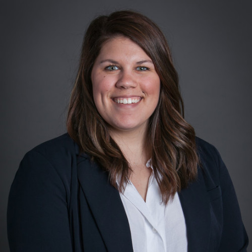
Olivia (Liv) Haney
Product Manager
Ecobot
Olivia (Liv) Haney is the Product Manager of Ecobot. Ms. Haney has a demonstrated history of working in the AEC industry as a wetland scientist, environmental permitting specialist, and GIS specialist. Liv primarily worked on large-scale utility projects in more than 20 states. After using Ecobot for more than 2 years as a consultant, Liv joined the team as Product Manager in 2022. At Ecobot, Liv is tasked with working with both customer-facing and engineering and development teams to maintain Ecobot’s workflow-based mobile/cloud platform and provide direct environmental regulatory expertise.
|
| About the Speaker(s) |
|
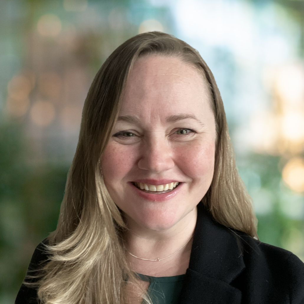
Jennie Byron
Senior Solution Engineer
Esri
Jennie Byron is a Senior Solution Engineer at Esri focused on advising and supporting AEC and Environmental Management firms as they integrate geospatial tools into their business processes. She has over 20 years of experience leading GIS, CAD, and 3D visualization projects in the AEC space, including in sectors spanning environment, infrastructure, energy, water, and mining. Her background is in environmental and earth sciences.
|
|
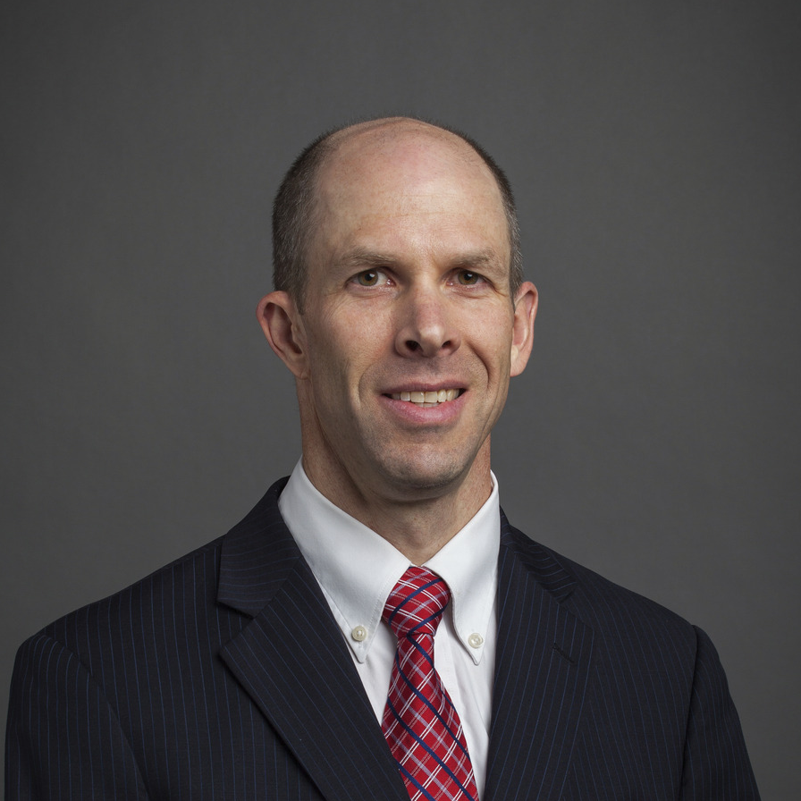
Gordon Shaw PWS, ENV SP
Associate Wetland Scientist
Burns & McDonnell
Gordon is an Associate Wetland Scientist and wetland technical lead for Burns & McDonnell. His primary responsibilities include wetland assessments and delineations, biological and botanical surveys, tree surveys, wetland mitigation plans, and report writing. His work also includes training wetland staff and conducting technical reviews of wetland reports. Gordon has performed wetland delineations and managed permitting efforts for large complex transmission line, transportation, and pipeline projects across the U.S.
|
|
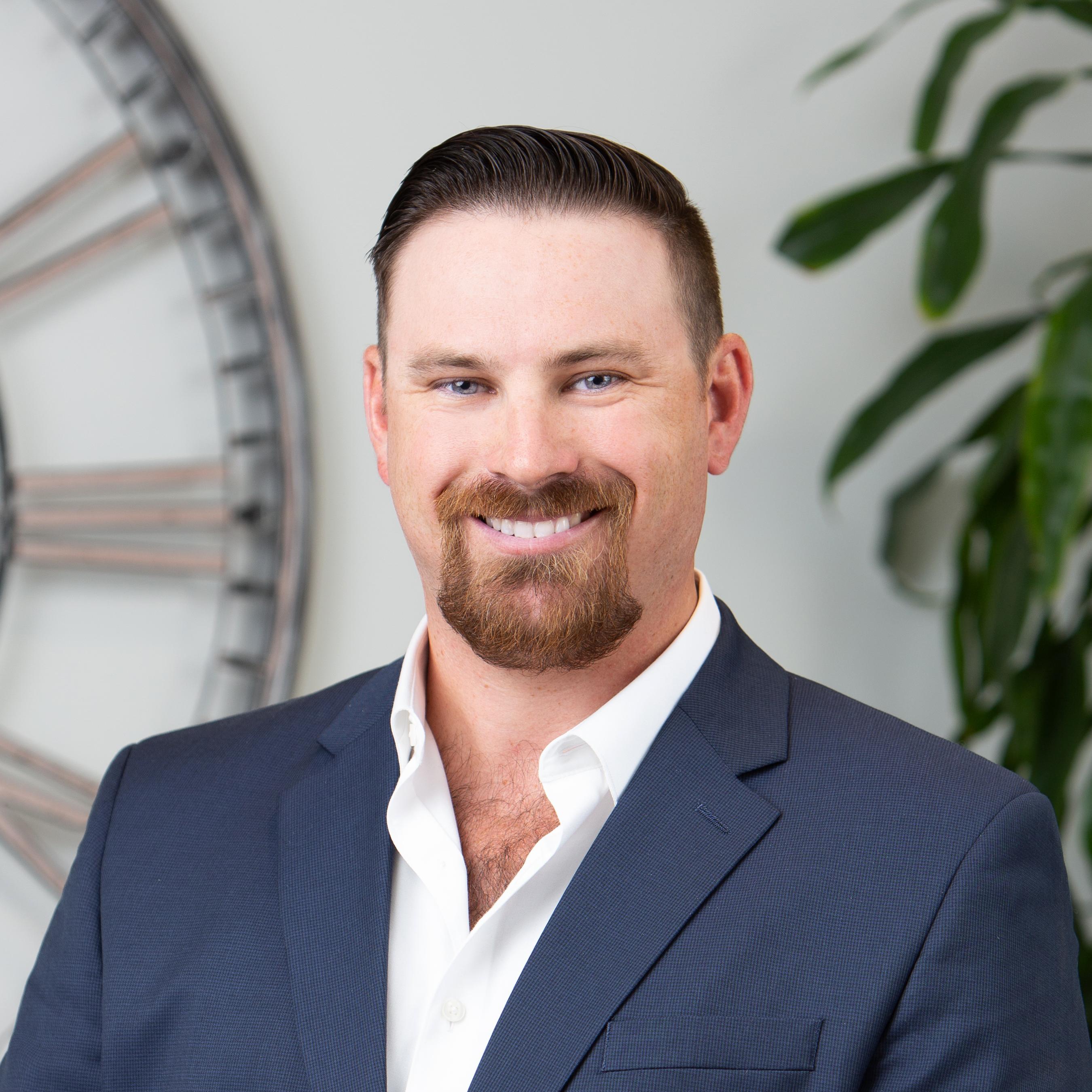
Michael Lane PWS
Environmental Project Manager and Team Lead
Freese and Nichols, Inc.
Michael Lane is an Environmental Scientist/Project Manager and serves as the Houston Ecology Team Lead in the WGC Environmental & Coastal Services Group. Mr. Lane's education and experience in aquatic ecology and wetland science provide him with the skills needed for conducting environmental impact assessments and navigating environmental policy and regulations. Mr. Lane serves as an integral member on many infrastructure projects involving water resources, transportation, and utilities often involving regulations associated with National Environmental Policy Act (NEPA), Clean Water Act (CWA), Endangered Species Act (ESA), National Historic Preservation Act (NHPA), etc.
|
Back to Top
Session B6.1
The National Ecological Observatory Network (NEON): a resource for researching cross-scale environmental change | Bio
11:15 – 11:45 AM
| About the Presentation |
|
The National Ecological Observatory Network (NEON) is a long-term, continental-scale observation facility funded by the National Science Foundation and operated by Battelle. NEON provides free and open ecological data to better understand how U.S. ecosystems are changing. NEON's data and samples characterize plants, animals, soils, nutrients, freshwater, and the atmosphere from 81 field sites strategically located across 20 different ecosystems in the United States.
Data are collected using four different systems:
- Automated instrument systems, which include meteorological and eddy flux data from towers, phenocams, soil sensors, and ground and surface water sensors;
- Observational sampling, which encompasses observations and physical samples collected by field ecologists;
- The Airborne Observation Platform (AOP): remote sensing light aircraft carrying instrument payloads to gather photos, lidar, and hyperspectral data; and
- The Assignable Assets program (AA), which enables researchers to request customizable data products.
NEON empowers a large and diverse user community to tackle new questions at spatial and temporal scales not accessible to previous generations of scientists. The broad application of NEON data is evident in the ever-growing library of publications in a variety of fields, including biological sciences, ecology, environmental science and management, earth sciences, and more. In fact, since full operations began in 2019, over 215 papers have been published using NEON data. This presentation will highlight some of the applications of NEON data that have helped provide a better understanding of the changing climate.
|
| About the Speaker |
|

Katie Matthiesen
Speaker information coming soon!
|
Session B6.2
Proactive Conservation: A Mechanism for Efficient and Effective Environmental Compliance | Bio
11:45 – 12:15 PM
| About the Presentation |
|
The Endangered Species Act (ESA) is celebrating 50 years of providing protection for our nation's most imperiled species. Supporters applaud it as the most protective global environmental law, with 99% of listed species avoiding extinction. Critics rebut, with claims of arduous and ineffective processes costing taxpayers billions annually, with few listed species being delisted due to recovery, and more species than ever on the brink of extinction. The ESA requires Federal agencies to undergo Section 7(a)(2) consultation for their actions. This well-known ESA responsibility is often completed in isolation from the lesser realized mandates of sections 2(c)(1) and 7(a)(1), which require Federal agencies to "seek to conserve" and "utilize their authorities in furtherance of the purposes of this Act by carrying out programs for the conservation of [listed species]". Despite the proactive conservation mandate for Federal agencies, the current status quo of environmental compliance focuses largely on reactive, site-specific, narrowly focused, and rarely strategic section 7(a)(2) consultations, while the proactive, strategic, programmatic, landscape-level approach remains a largely under-utilized tool in the arsenal for listed species recovery. The use of strategic approaches to environmental compliance can help action agencies perform their missions consistent with species recovery while also providing increased regulatory certainty and flexibility, decreasing regulatory conflict and delays, and significantly streamlining 7(a)(2) consultations for individual projects.
The presentation highlights an innovative example of successful proactive conservation that was championed by Sustainable Conservation, a non-profit that fosters collaborative solutions to complex environmental challenges. Framed upon a backdrop of a challenging mix of state and federal environmental compliance requirements, diverse and complex ecosystems, and the most endangered species of any state within the continental US, this multi-agency effort resulted in a comprehensive statewide consultation called the California Statewide Programmatic Restoration Effort. It covers 72 federally listed species, 40 critical habitat areas, and 10 types of restoration projects, encouraging the efficient implementation of aquatic, riparian, floodplain, and wetland restoration projects that benefit fish and wildlife in California. This synergistic approach yields many benefits. It provides an efficient and consistent path to ESA compliance, aligns project design criteria with listed species recovery, provides valuable information in a timely manner to project proponents, and allows for optimal decision-making opportunities with more effective resource stewardship. Using such proactive conservation approaches allows for creative and effective solutions to complex problems surrounding listed species across diverse landscapes, even those involving multiple stakeholders and species with competing interests, providing a hopeful future for ecosystem-based restoration even in the face of arduous challenges. This example demonstrates that by effectively employing the forward-thinking, proactive, partnership-based approach envisioned by the authors of the ESA half a century ago, we may exponentially benefit the recovery of the nation's most imperiled species.
|
| About the Speakers |
|
Collette M. Thogerson, PHD, MS, BS
Senior Biologist
AECOM
Dr. Collette Thogerson is an ESA expert, with specialized expertise in Section 7 consultation. She holds a B.S. in Animal Biology (University of California, Davis), and an M.S. and Ph.D. in Animal Behavior and Well-Being (Purdue University). She uses her unique multi-disciplinary expertise to develop novel, proactive, solution-oriented approaches to controversial and complicated projects and successfully develops comprehensive Section 7(a)(1) programs for federal agencies. In her current role as a Senior Biologist at AECOM, she uses her diverse military, academia, federal government, non-profit, and private sector experiences to provide clients with exceptional service in meeting their environmental regulatory requirements. Dr. Thogerson was the U.S. Fish & Wildlife Service (USFWS) National Section 7 Coordinator, served as program lead for numerous national Section 7 consultations, and was an Assistant Field Supervisor for the Ventura FWS office, leading a team of biologists in ensuring ESA compliance for numerous Central California counties.
|
|
Erika Lovejoy
Director, Accelerating Restoration Program
Sustainable Conservation
Erika Lovejoy is the Director of Sustainable Conservation’s Accelerating Restoration Program, where she develops innovative policy and regulatory incentives to increase the pace and scale of habitat restoration in California. Major projects include collaborating with landowners, NGOs, and government agencies on statewide policies and programmatic permits to promote aquatic habitat restoration and related multi-benefit projects. As an established expert in creating regulatory and process efficiencies within government to advance environmental goals, Erika has implemented several environmental programs and been an active contributor to California’s Cutting the Green Tape Initiative. Before joining Sustainable Conservation, Erika served in lead and technical roles as an Environmental Scientist/Planner for California's Water Boards, Coastal Commission, and Department of Water Resources, and San Francisco County. She has also managed a major watershed planning effort for the South San Francisco Bay, helping to mediate stakeholder conflicts and develop lasting water quality protection solutions.
|
Session B6.3
Predicting Wetland and Stream Mitigation Needs for TxDOT Transportation Projects | Transportation
12:15 – 12:45 PM
| About the Presentation |
|
Many of TxDOT's state projects require wetland or stream mitigation that affects jurisdictional Waters of the United States (WOTUS). To offset these impacts, developers buy credits in a mitigation bank that holds the corresponding amount of land as conservation land. This conserved land must match the type of land impacted by the project and have credits available for purchase. Many State projects are either not located within the service area of a mitigation bank or the mitigation bank does not have the appropriate number or type of mitigation credits needed. The lack of available mitigation has resulted in project delays and unanticipated expenses. Currently, TxDOT does not have a mechanism to determine the amount and types of mitigation required for a project until WOTUS delineation and functional assessment(s) are conducted. JMT is developing a GIS-based Predictive Wetlands/Waters and Mitigation Modeling Tool for use in future transportation projects.
These tools use ArcGIS Pro, ArcHydro, and other geoprocessing tools to predict the amount and type of potentially jurisdictional wetlands and waters existing along transportation corridors where project impacts may occur. Currently, the focus is on two pilot HUC8s with development done in such a way as to allow expansion statewide. The Predictive Wetlands/Waters and Mitigation Modeling Tool will be used to determine the potential project impacts on the wetlands and streams within the project boundary, pre-process the data required for analysis, and determine which mitigation bank service areas the proposed impacts would occur within, and the estimated amount of mitigation required. The predictive wetland identification process will use ArcHydro Wetland Identification tools to build models that identify high-likelihood wetlands. The stream identification process will utilize ArcHydro Terrain Preprocessing tools to identify possible ephemeral streams utilizing available LIDAR-derived DEM data. The python tools will be wrapped in a custom add-in within ArcGIS Pro to provide a simplified user interface. This will allow users to intuitively access each step of the process, and review the data inputs and predicted wetlands/waters features, and the identified matching mitigation bank service areas.
|
| About the Speakers |
|
Ryan Robol
Section Head, Natural & Cultural Resources
JMT Technology Group
Mr. Robol has 20 years of environmental experience. His responsibilities include providing technical guidance and expertise, mentoring environmental staff, business development and marketing, and overall growth of the program within Texas. His technical background is in natural resources consulting, including wetland delineations and Army Corps of Engineers permitting, preparation of NEPA documentation, obtaining environmental clearance for large public-sector projects, conducting species-specific field surveys, and Phase I Environmental Site Assessments. He is experienced with all aspects of complex environmental permitting associated with land development, transportation, civil infrastructure, coastal, and water resources development projects.
|
|
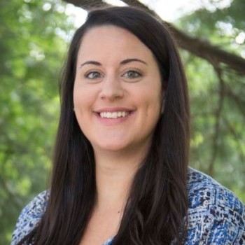
Mallory Gill, GISP
Senior GIS Analyst
JMT Technology Group
Mallory Gill is a GIS Analyst with JMT Technology Group with 10 years of experience. Mallory works in transportation, public safety, utility, and environmental data for federal, state, and local government customers. She primarily uses the Esri suite of products for geodatabase design, data development, data analysis, and cartography. Mallory writes Python scripts to automate data analysis, create ArcGIS Server inventories, and generate map series. She also uses ArcGIS Python Toolboxes to build complex custom geoprocessing tools. In addition to GIS support, Mallory has served as a resource for requirements gathering, data validation, and testing for several web-based applications.
|
|
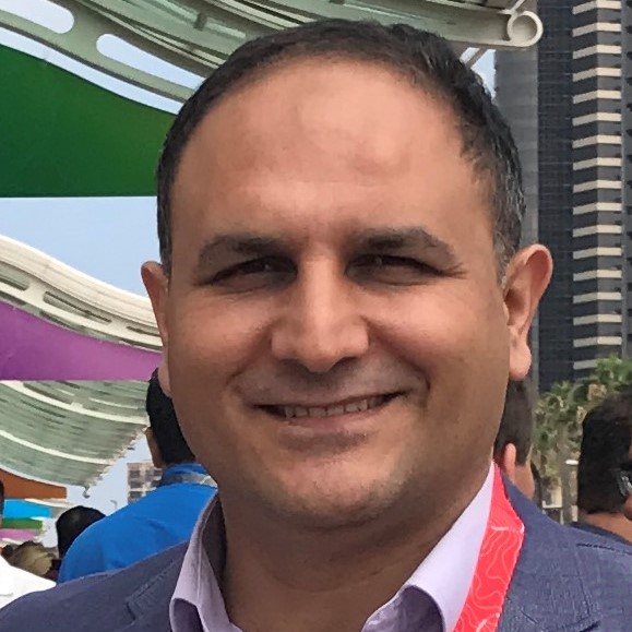
Mehmet Secilmis, MS, GISP
Senior Global Account Manager - AEC & Environmental
Esri
Mehmet Secilmis is a global account manager for Esri, a leading geospatial software company. He is with Esri's AEC & environmental practice team and is based in San Antonio, TX. He works with engineering and environmental firms to discover the power of GIS and solve the real problems they have. He has over 20 years of diverse experience in environmental science/engineering and GIS. His educational background includes an MS degree in Environmental Technology and an MS degree in Management with a concentration in Management of Technology.
|
Session C6.1
The Art of Creating a Community Around Transportation Projects | Transportation
11:15 – 12:15 PM
| About the Presentation |
|
Successful public engagement requires consistent communication from beginning to end, with the public rightly expecting their state and community to detail how projects will affect their commute and quality of life as a whole. All eyes are on a project when it's under construction, and we all know the public can get quickly frustrated by inconveniences to their travel. But consistent and honest communication; both through social media and other online tools - creates an informed and enthusiastic community that understands project challenges. On the award-winning I-74 Mississippi River Bridge project, Images, Inc. worked closely with Iowa DOT and Illinois DOT, construction management consulting firms, contractors, municipalities, and local organizations to create and maintain local and regional excitement and build public confidence and ownership of the project. This presentation will highlight engagement strategies used on the I-74 River Bridge project (along with examples from other projects) to showcase how to effectively create and maintain a positive image of complex transportation initiatives throughout construction. Presenters will also discuss how these results were achieved through extensive collaboration, cooperation, and partnership with the DOTs, designers, construction management consulting firms, inspections, contractors, and local municipalities and organizations.
Attendees will:
- Gain a better understanding of how to create and engage a community around transportation projects; especially in this rapidly changing environment of online communication.
- Learn how to effectively keep the public and other stakeholders informed, creatively address public concerns, instill stakeholders with a sense of ownership for the success of a project, and maintain a positive image of complex transportation projects.
|
| About the Speakers |
|

Kristina Kuehling
Manager of Innovation
Images, Inc.
Kristina Kuehling is Manager of Innovation at Images, Inc., where she develops creative ways to involve stakeholders in complex transportation projects that affect their communities. Whether developing talking points for media interviews, crafting clear and consistent marketing materials, developing exciting social media campaigns, or leading collaborative stakeholder meetings, she helps clients build good rapport with target audiences. Most recently, Kristina led strategic communications, public outreach, and media relations on Iowa's largest transportation project in history, the award-winning I-74 Mississippi River Bridge in the Quad Cities, Iowa/Illinois.
|
|
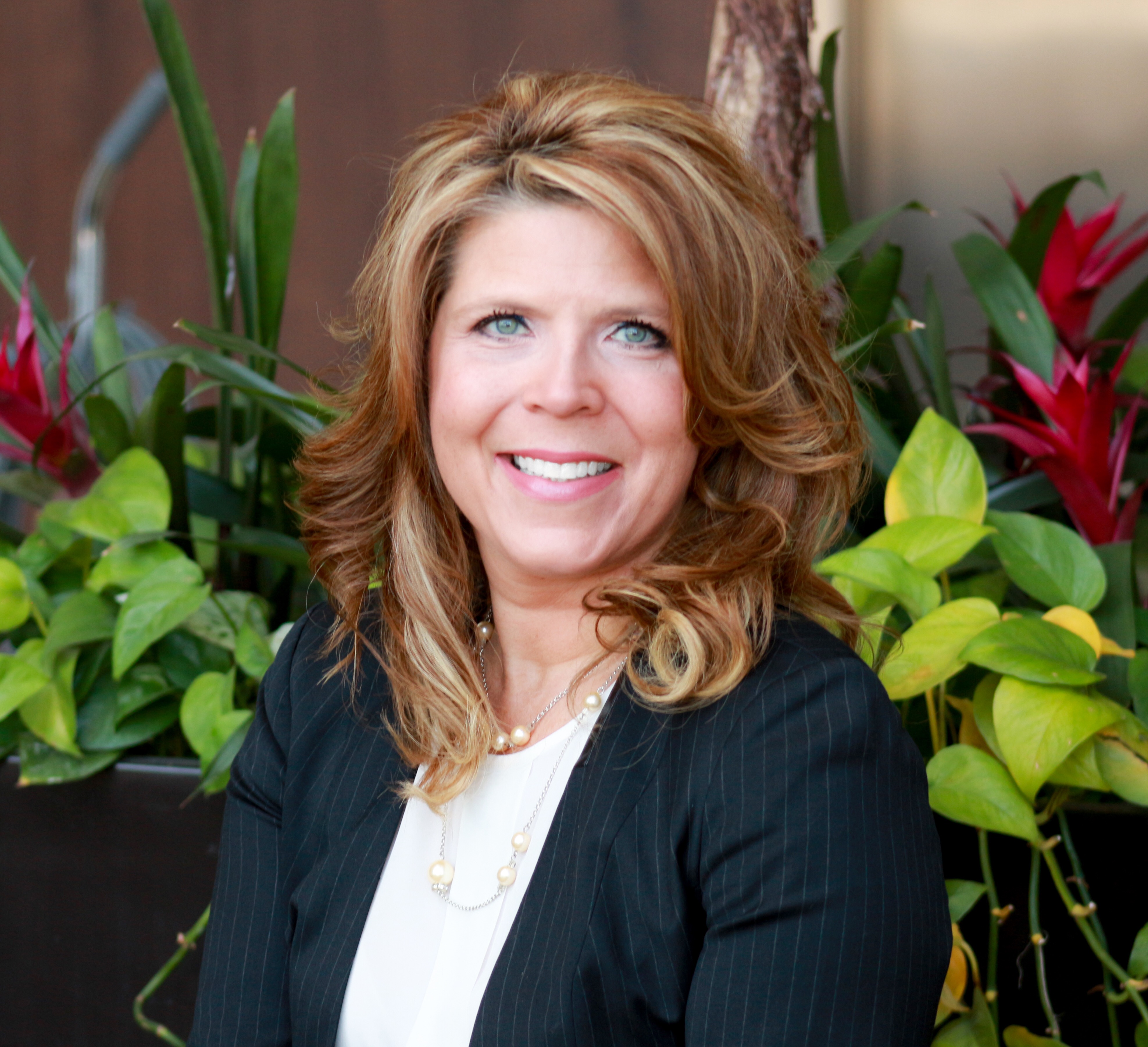
Tracy Morse
President & CEO
Images, Inc.
Tracy Morse is the Founder and President of Images, Inc., a woman-owned strategic communication firm that has successfully provided leadership in public involvement on some of the largest transportation projects in the U.S. Her firm is noted for its unique blend of communications, strategic planning, public relations, marketing, technical writing, web design, and print media. With comprehensive experience in multimodal transportation projects from planning to construction, Tracy continues to work with transportation agencies at local, regional, and state levels. Her work has been recognized by the Transportation Research Board, AASHTO, and the Publicity Club of Chicago.
|
Session C6.2
Regional Greenspace Planning Partnerships in the Greater Cincinnati Area | Transportation
12:15 – 12:45 PM
| About the Presentation |
|
Ohio-Kentucky-Indiana Regional Council of Governments (OKI) is a Council of Governments and the Metropolitan Planning Organization (MPO) for the Cincinnati Area. OKI has a long history of partnering with local agencies to promote and facilitate greenspace conservation throughout the Region. For more than twenty years, OKI has employed a Strategic Regional Planning Process for which the Natural Resources component of this process sets forth a regional vision to protect and improve the diversity and sustainability of the Region's natural systems. Strategies for realizing this vision include improved coordination of planning efforts, ensuring sustainable water resource protection, understanding the full value of a diverse natural system, and considering the impacts of development within entire watershed areas. We are also federally mandated to conduct Environmental Consultations as part of our Metropolitan Transportation Plan (MTP) on the MPO side of things. One requirement is to address the environmental mitigation needs associated with regional transportation projects. Both the SRPP and the MTP suggest an increased need for coordination among natural systems planning and other planning Initiatives to conserve high-quality and scarce resources more effectively. OKI addresses these needs by collaborating on programs to conserve regionally significant natural systems and providing models, data sources, Geographic Information System (GIS) data, and analytical tools that help to indicate the economic and environmental value of natural systems. This session will provide a background of historical greenspace partnership initiatives. An overview of OKI's development of environmental GIS-based tools will be provided. These tools allow communities to explore the Region's environmental features, determine the values of specific tree species in their community, prioritize conservation areas, and identify potential mitigation project sites based on locally available data. The presentation also will highlight recent developments in regional greenspace collaboration, including the results of our most recent Natural Systems focus groups of expert stakeholders and the relaunch of the Greenspace Action Team, a collaboration of multiple conservation partners in a 10-county region dedicated to protecting high-quality greenspace.
Session Objectives:
- Understand the trending concerns of our regional conservation experts and suggested planning strategies to find applicability to their Region.
- Recognize the value of collaboration and identify analogous partners in their Region involved with environmental mitigation and greenspace preservation, learning lessons from our recent collaborative greenspace relaunch.
- Learn about the tools developed in our Region and identify potential opportunities to leverage GIS web applications as resources.
|
| About the Speaker |
|
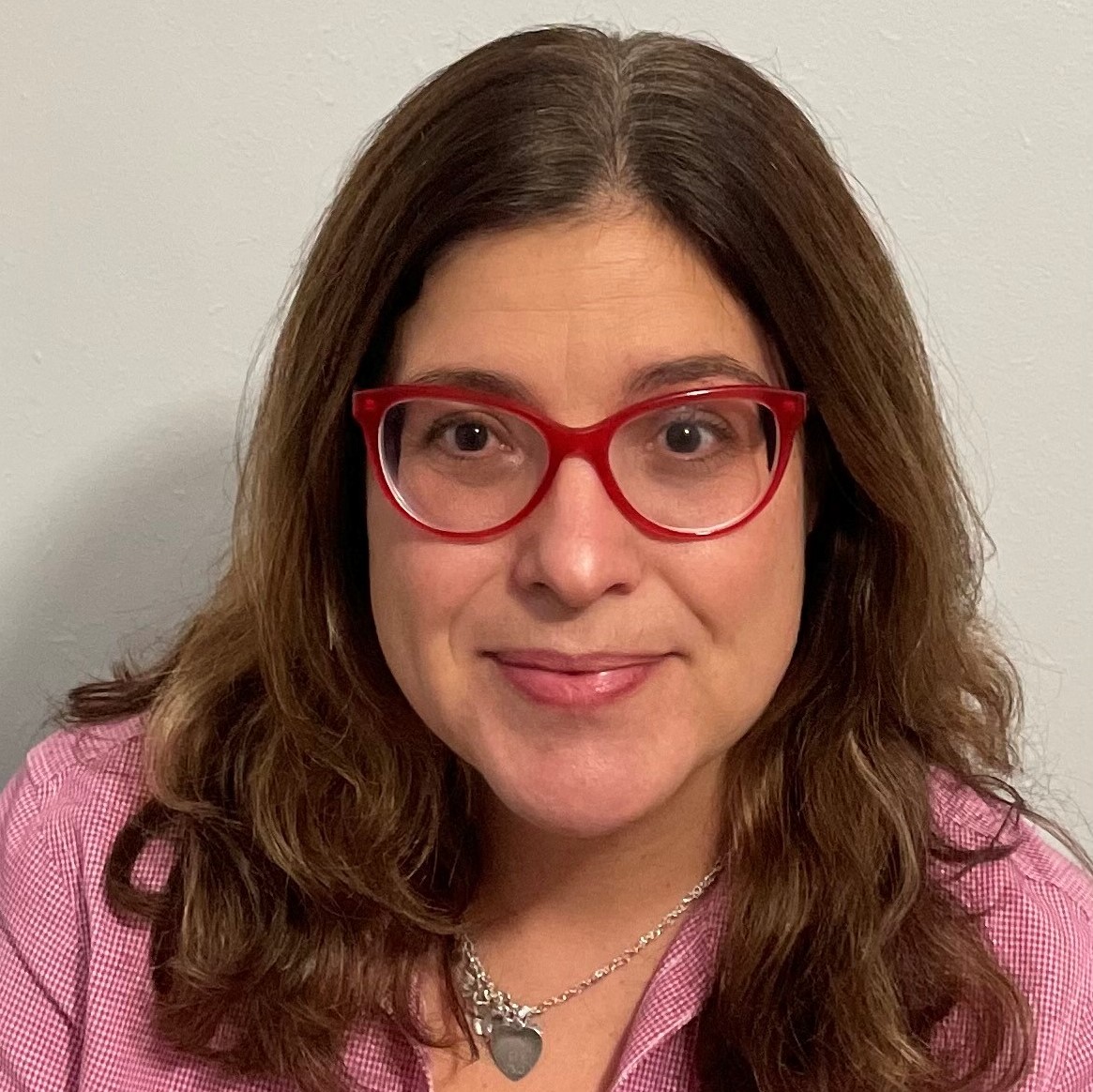
Margaret Minzner, Ed.D., GISP
Senior Environmental Planner
Ohio, Kentucky, Indiana Regional Council of Governments
Margaret is responsible for managing the Greenspace program, including coordinating the consultation process and implementing the OKI's Strategic Regional Policy Plan recommendations for conserving natural systems and integrating greenspace into the development process. Margaret holds a Doctorate in Education Leadership from Northern Kentucky University, a Master's degree in Integrative Studies from Northern Kentucky University, and a Bachelor of Arts degree in Biology from Skidmore College. She is also a certified Geographic Information Systems Professional.
|
Session D6.1
Water Quality Banks, Market-Based Approach to Enhance Water Quality | Water
11:15 – 12:15 PM
| About the Presentation |
|
A Water Quality Enhancement Area (WQEA), sometimes referred to as a water quality bank (collectively WQ Bank), is a natural system constructed and permitted to provide offsite, compensatory, regional treatment within an identified service area. WQ BANKs utilize only green and natural technologies and assist in resiliency efforts. This concept was first introduced in Virginia, using the term nutrient bank, but the Virginia model has not yet expanded nationwide. This session will discuss opportunities for nationwide expansion of water quality banking and the creation of a market based opportunity for use in other states to address adverse water quality impacts from stormwater discharges. The potential exists for the creation of a new market, similar to the mitigation banking market. Recognizing the need for more tools to improve water quality, Florida, recently adopted legislation to allow for the creation, and sales of credits from WEQA to offset adverse water quality impacts from stormwater discharges. Florida, in part, followed the successful model of mitigation banking and built on the Virginias' success. WQ Banks address pollutants in stormwater, rather than from point sources.
The Arizona Department of Environmental Quality describes stormwater runoff as: Stormwater runoff is generated from rain and snowmelt that flows over land or impervious surfaces (e.g., paved streets, parking lots, building rooftops) and does not soak into the ground. The runoff picks up pollutants such as trash, chemicals, oils, and dirt/sediment that can harm our rivers, streams, lakes, and coastal waters. Stormwater typically has high nutrient concentrations. Too much nitrogen or phosphorous can lead to water quality problems like rapid growth of algal mats, oxygen depletion in the water, and harm to the habitat. The Regional Stormwater Partnership for the Carolinas now states: As the U.S. population and especially urban areas have grown, stormwater pollution has become the NUMBER #1 source of pollution in U.S. waterways. Regional Stormwater Partnership of the Carolinas, Stormwater Pollution.
The WQ BANK should be used to:
- Benefit water quality in the same watershed
- Meet defined performance or success criteria for the reduction of pollutants or other constituents that prevent receiving waters from meeting state water quality criteria
- Ensure long-term pollutant reduction through effective perpetual operation and maintenance by a responsible entity supported by an endowment or other long-term financial assurance
- Demonstrate sufficient legal or equitable interest in the WQ BANK
- Provide for permanent preservation of the WQ BANK.
|
| About the Speakers |
|
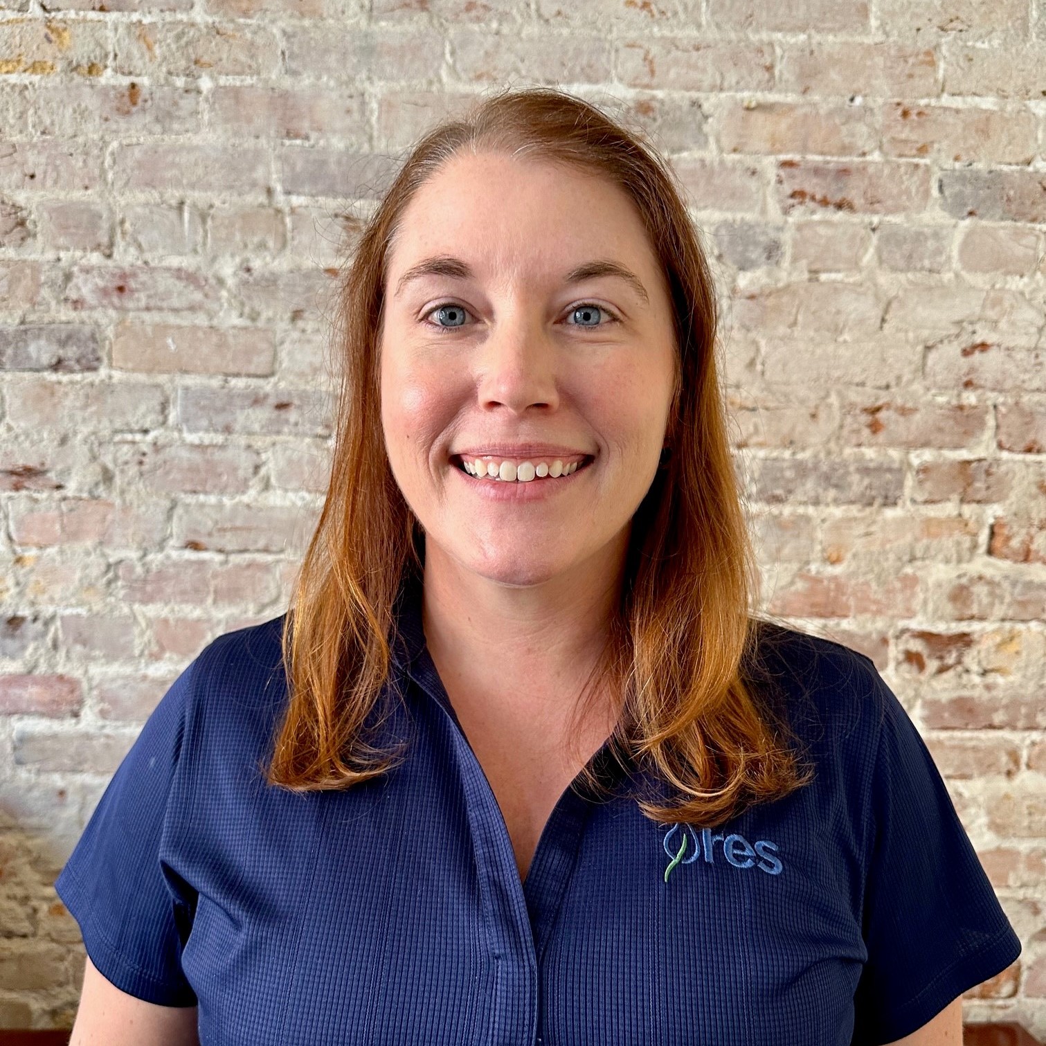
Ansley Tilley
Director of Alternative Delivery Solutions
RES
As a Senior Engineer with over 18 years of experience and the Director of Alternative Delivery Solutions for RES, she is charged with creating unique water resources and full delivery solutions
for government, agricultural, and private sector clients across the country. Ansley’s experience spans the public and private sectors in design and construction providing solutions for land development, water resource public-private partnerships (P3), municipal land planning and development compliance, and developing large infrastructure for the Department of Defense along the east coast of the US and across the State of Florida. Before joining RES, Ansley led a water resources consulting team through various large projects critical to South Florida’s Restoration efforts. She also previously held the position of Chief of State Policy for South Florida Water Management where she was responsible for the Public-Private Partnership program, developing restoration solutions using delivery methods beyond the consultant-driven model. Ansley was successful in bringing multiple P3 restoration solutions to life by creating partnerships between private landowners looking to diversify their land portfolio with unique, lasting water resource and mitigation solutions. Projects included wetland treatment systems using passive water controls as well as pumped systems to maximize hydrologic storage.
|
|

Susan Roeder Martin
Government, Environmental and Land Use
Nason, Yeager, Gerson, Harris & Fumero, P.A.
Susan Roeder Martin is a Partner at Nason Yeager. She is board certified in State and Federal Government and Administrative Practice by the Florida Bar and has practiced law for 40 years, formerly as a Practice Expert Attorney with the Florida government environmental agency and earlier as a corporate attorney and Congressional Lobbyist with Florida Power and Light Company.
Ms. Martin has handled a wide range of environmental issues including permitting and permit challenges, enforcement, mitigation banks, litigation, mediation, congressional lobbying, and appeals. She participated in the drafting and adoption of environmental resource permit rules, including those pertaining to water quality, quantity, and mitigation.
Ms. Martin is the past of the Environmental and Land Use Law Section (ELULS) of the Florida Bar, editor of the ELULS Florida Bar Journal Column, and recently founded the ELULS Resiliency Committee. She is a frequent speaker and author, having authored six articles in the Florida Bar Journal and six published Treatises. She is a Supreme Court Certified Mediator and a LEED-accredited professional. She is AV Preeminent rated by Martindale Hubbell, the highest rating an attorney can earn from their peers.
|
Session D6.2
Five Unique Ways Arizona Leverages Survey123 for a Community Science Program: A Love Note of Sorts from a Passionate Volunteer Coordinator | Water
12:15 – 12:45 PM
| About the Presentation |
|
Volunteer coordinators are often stretched for time and resources due to the magnitude of data and organizing sampling efforts from hundreds of community scientists. AWW leverages ArcGIS Survey123, a form-centric platform that allows volunteers to submit their water quality data via an app. However, Survey123 can do so much more! By thinking outside the box the ArcGIS platform can assist in annual water quality training, conduct automatic quality assurance tasks that highlight problems, track volunteer equipment requests, and notify necessary state scientists of potentially harmful algal blooms.
Since 2017 Arizona Water Watch (AWW), a community science program offered through the Arizona Department of Environmental Quality (ADEQ), has received over 30,500 water quality records resulting in 18 attainment, 33 impaired, and 35 inconclusive Assessment decisions. Additionally, volunteers have removed thousands of pounds of trash from waterways and collected hundreds of flow regime observations. Data of this magnitude needs to be organized and accurate to run an effective community science program. This presentation will discuss the fundamentals of how Arizona applies Survey123 to its community science program, discuss lessons learned, and highlight some of the data collected by volunteers using these tools to aid in the protection of Arizona's streams and lakes.
|
| About the Speaker |
|
Meghan Smart
Senior Scientist
Arizona Department of Environmental Quality (ADEQ)
Meghan Smart is a senior scientist with the Arizona Department of Environmental Quality (ADEQ). She obtained her B.S. degree from U of A in Natural Resources in 2006. A biologist by training, she has declared her position at ADEQ as “the best job ever!” For 17 years she studied perennial streams and intermittent streams throughout Arizona. Meghan has led three new programs for the state: intermittent stream research, a recreational monitoring program, and created Arizona Water Watch, an ADEQ community science program. She is passionate about nature, all things related to science, and photography.
|
Back to Top
Session E6.1
An Equitable and Sustainable Brownfields Redevelopment in Southside Chicago | Waste - CANCELLED
11:15 – 12:15 PM
| About the Presentation |
|
Green Era Educational NFP began to work at transforming a nine-acre blighted brownfields property to an anaerobic digester and an urban farm in 2014. The property is a former industrial site located in the Auburn Gresham neighborhood, one of the most underserved areas in Chicago. After redevelopment, the facility will divert organic waste from landfills to produce clean, renewable energy and nutrient-rich compost for urban farms. This will allow for building better systems of organics recycling, renewable energy, and healthy local food production in the nearby food desert areas. The redevelopment will also create jobs and volunteering opportunities to the communities. During the site cleanup planning, an innovative approach was utilized to integrate site-specific conditions, redevelopment design, and risk-based cleanup therefore the project can be implemented with the available funding. Monthly community meetings have taken place to engage the communities and gain support. The project received a USEPA Cleanup Grant, IEPA Revolving Loan Fund, and support from the City of Chicago. Green Era was part of the winning team awarded by the Pritzker Traubert Foundation. The redevelopment started in August 2020. This brownfields project addresses environmental concerns and environmental justice by creating jobs and promoting sustainability and a healthy lifestyle in an extremely underserved and food desert neighborhood. Innovative technical approaches were utilized to save time and money.
From this presentation, attendees will learn about:
- An innovative technical approach to cleanup a historical brownfields property;
- How a brownfields property can be developed into an anaerobic digester and urban farm, therefore, creating an organic waste recycling process and providing healthy food to the food desert areas
- How EPA and other funding enable brownfields cleanup and redevelopment in an extremely underserved area to create hope, job and volunteering opportunities, improve quality of life and promote a healthy lifestyle.
|
| About the Speaker |
|

Linda Yang, M.S., MBA
Sr. Principal
Terracon Consultants, Inc.
Ms. Linda Yang, P.G. is Senior Principal and Vice President of Terracon Consultants, Inc. She has over 25 years of environmental consulting experience specializing on site characterization, remediation, and complex program management. In the recent decade, she has focused on brownfields assessment, cleanup, redevelopment, and funding strategies, providing guidance and leading project execution for both public and private sectors. Working with municipalities and Illinois EPA, she led the brownfields green cleanup pilot study in the State of Illinois. Ms. Yang received her bachelor's and master's degrees in Geology, and MBA with distinction. She is a Licensed Professional Geologist in Illinois.
|
Session E6.2
The Future of Environmental Due Diligence | Waste - CANCELLED
12:15 – 12:45 PM
| About the Presentation |
|
Environmental permitting is the #1 bottleneck delaying all solar land development projects today. It currently takes weeks/months to receive an environmental critical issues analysis, leaving most solar land developers feeling frustrated and stuck. Additionally, the Inflation Reduction Act and the Infrastructure Bill have put thousands of U.S. land development projects on the horizon and more pressure on that bottleneck. What will that extra pressure do to an already broken system? We will likely see a drastic influx in projects trying to navigate the environmental compliance space without a roadmap to get there. Even with the financial support of the Inflation Reduction Act, creating green energy projects will continue to be an uphill battle if we do not change the environmental permitting process. All of the tax credits this act provides will be false hope to developers and environmentalists alike if our permitting system is too backed up to allow successful project development.
Our energy efficiency goals will continue to be an unreachable mirage if we do not build a faster way to reach them. The process no longer serves the developer or the environment and does not scale. How can we change our permitting process to serve our environment and infrastructure needs? Introducing automation into the conversation can shorten the project lifecycle and lead to more accurate site selection-meaning fewer environmental hurdles for developers to jump through. For example, Transect provides environmental due diligence in minutes, not weeks, and will provide Energy Community-specific layers for developers to see exactly what areas of their land qualify for the IRA benefits. When compliance is made simple, permitting is less daunting for developers, and we can get projects out the door. Cleaning up the environment has required a massive overhaul and transition from fossil fuels to green energy. Our archaic permitting needs the same attention to modernization to reach those same environmental goals. It's time the environmental process stopped working against development and started working with it- for the sake of the environment itself.
|
| About the Speaker |
|

Robin Laine
CEO
Transect Inc.
Robin Laine is the CEO and Founder of Transect, Inc., a software platform empowering land developers to take control of the environmental permitting process, delivering due diligence in minutes- not weeks or months. She has decades of experience managing natural resources compliance and permitting projects. Robin acted as a field biologist, project manager, division director, and program manager for regional and national environmental consulting firms- guiding clients on environmental requirements and creating in-house natural resource compliance processes for numerous enterprise energy companies. She now leads Transect to accelerate how we consume environmental data. Robin earned a B.S. in Biology with a concentration in Ecology, Evolution, and Behavior from UT Austin.
|
Back to Top
Back to Schedule
|
